Taylor Haus Galleries
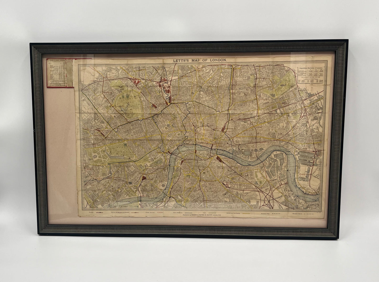
1881 Lett’s Pocket Map of London
1881 Lett’s Pocket Map of London
Regular price
$775.00 USD
Regular price
Sale price
$775.00 USD
Unit price
per
Shipping calculated at checkout.
Couldn't load pickup availability
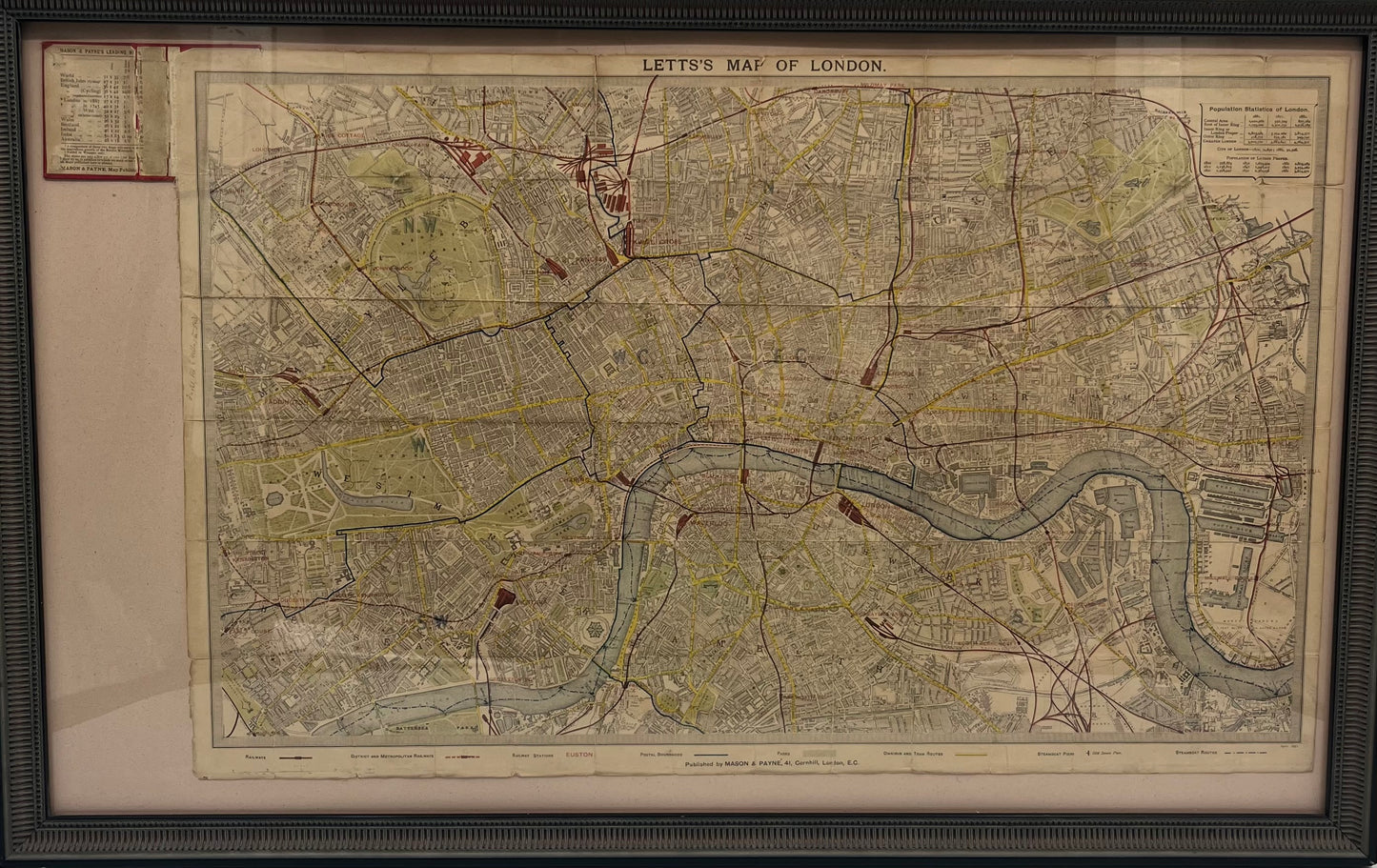
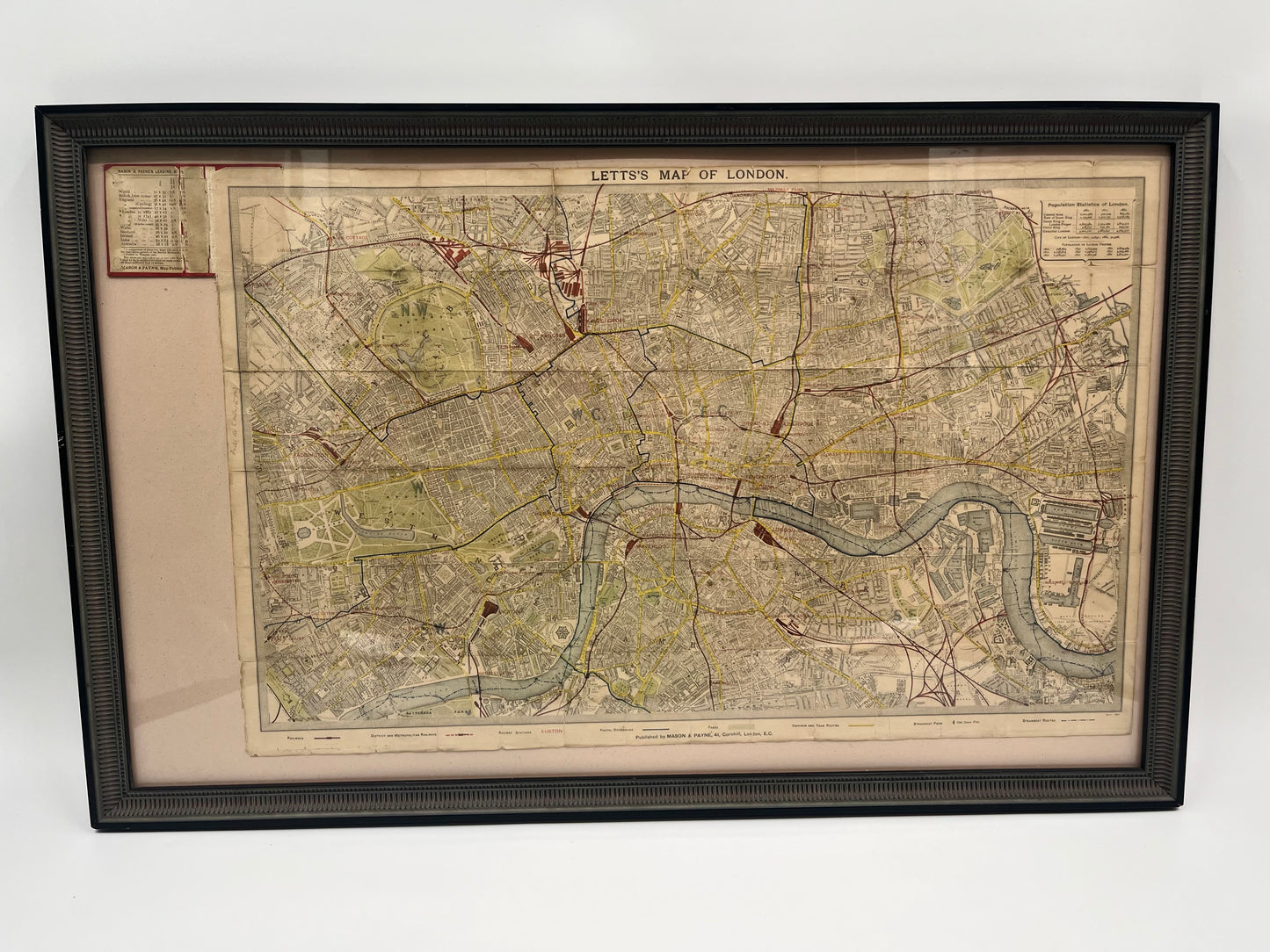
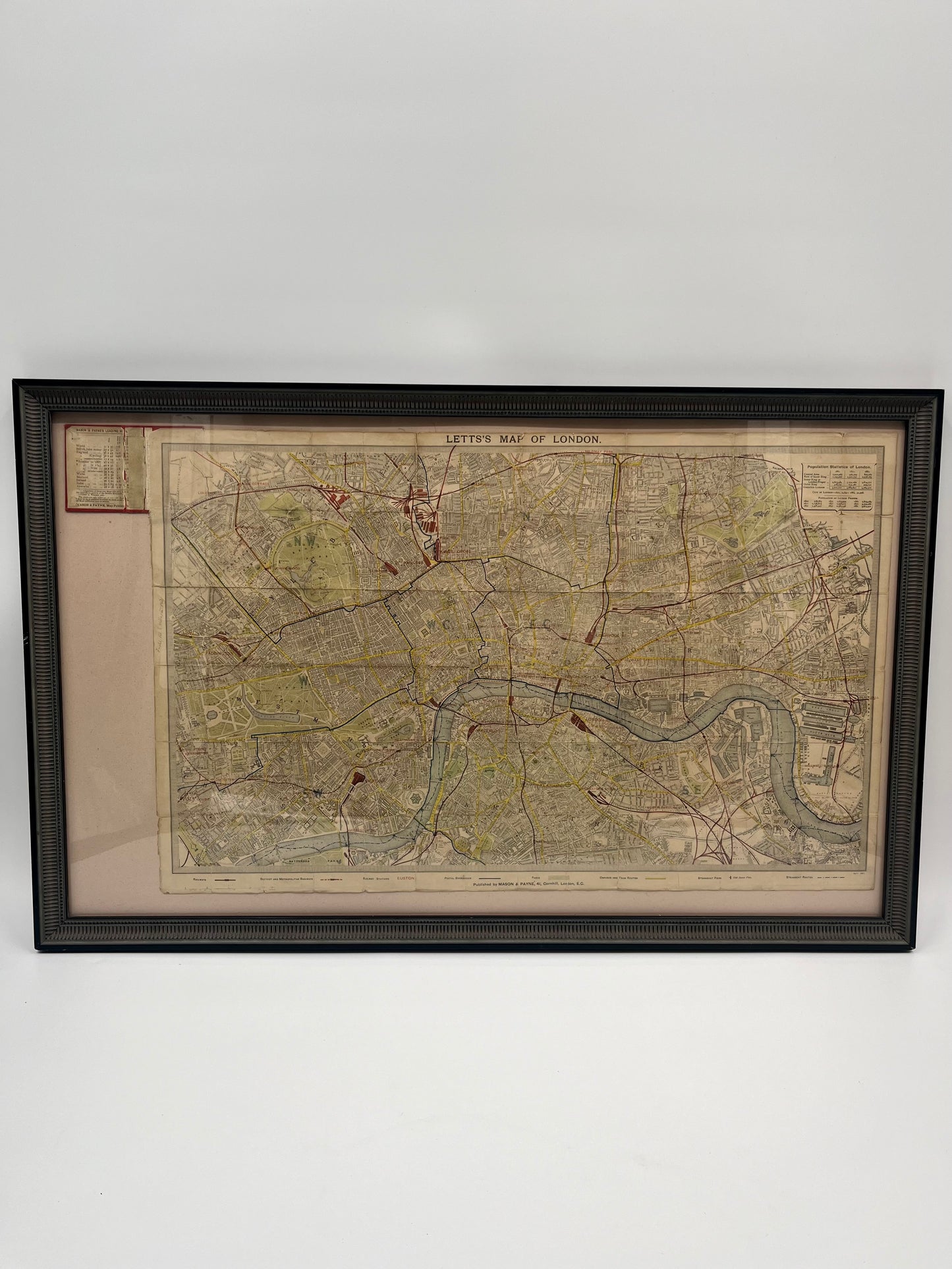
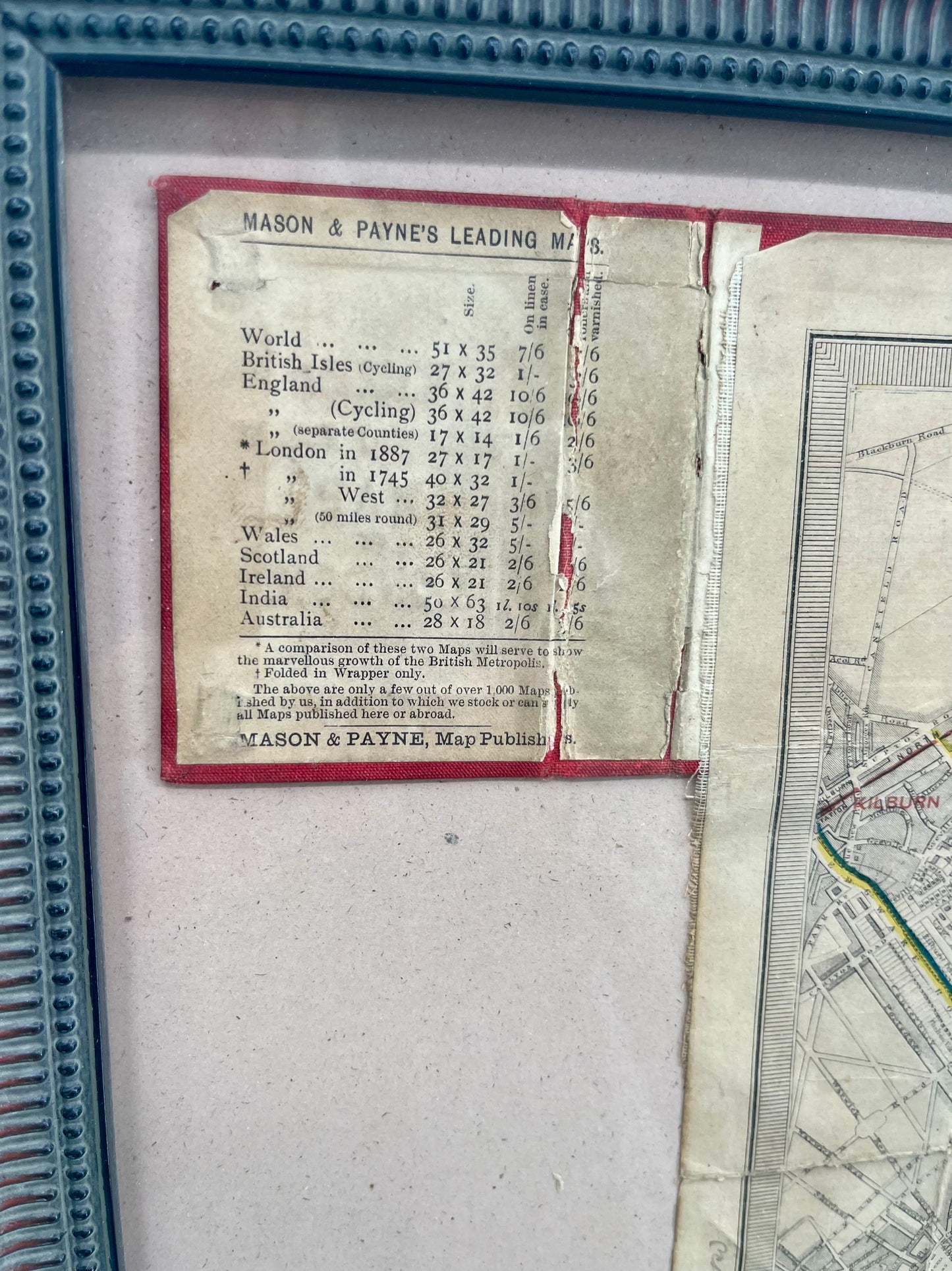
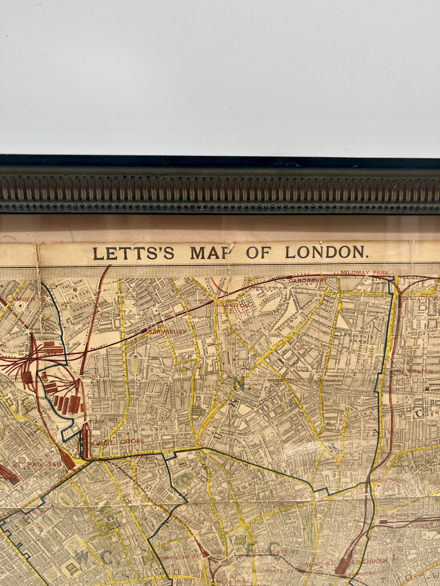
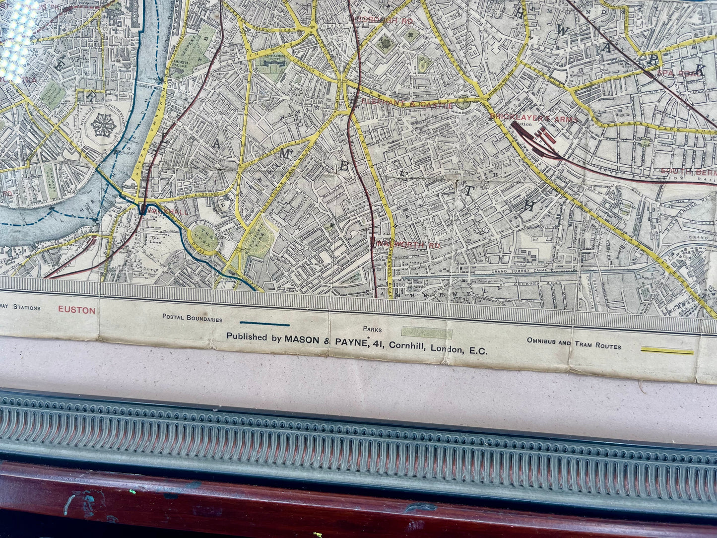
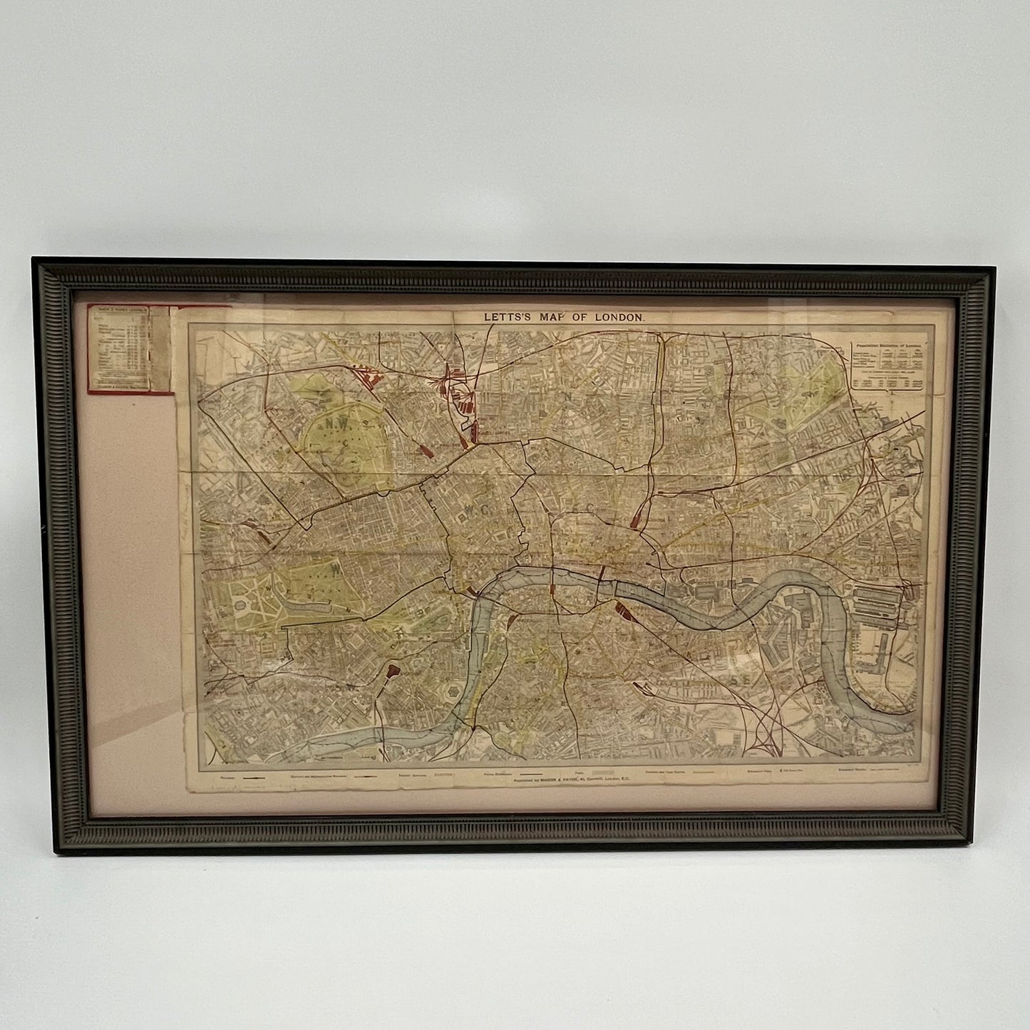
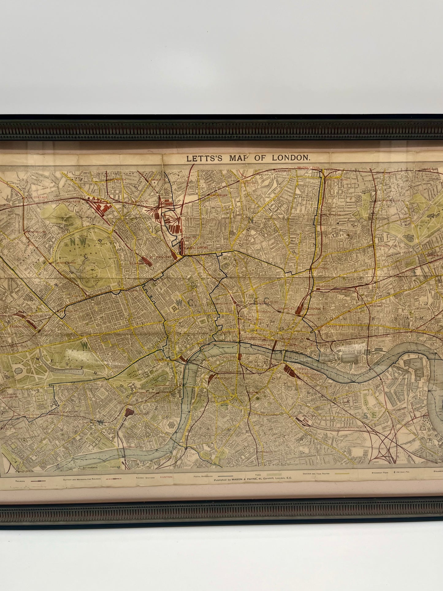
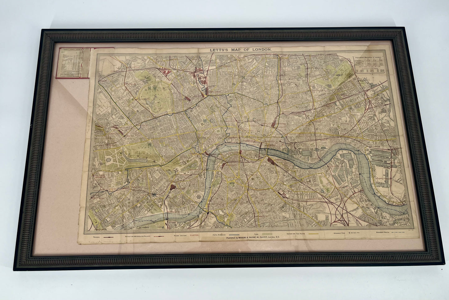
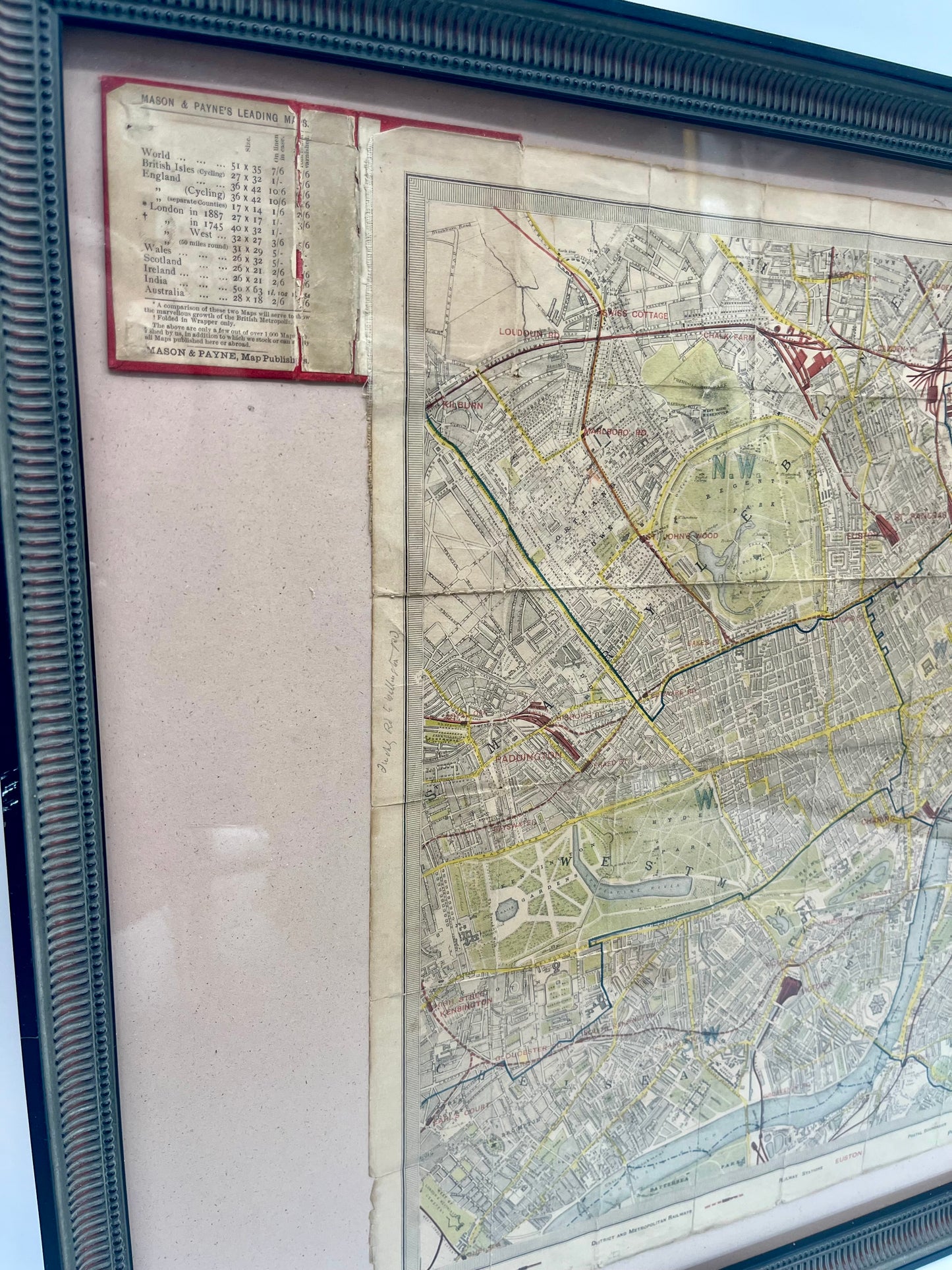
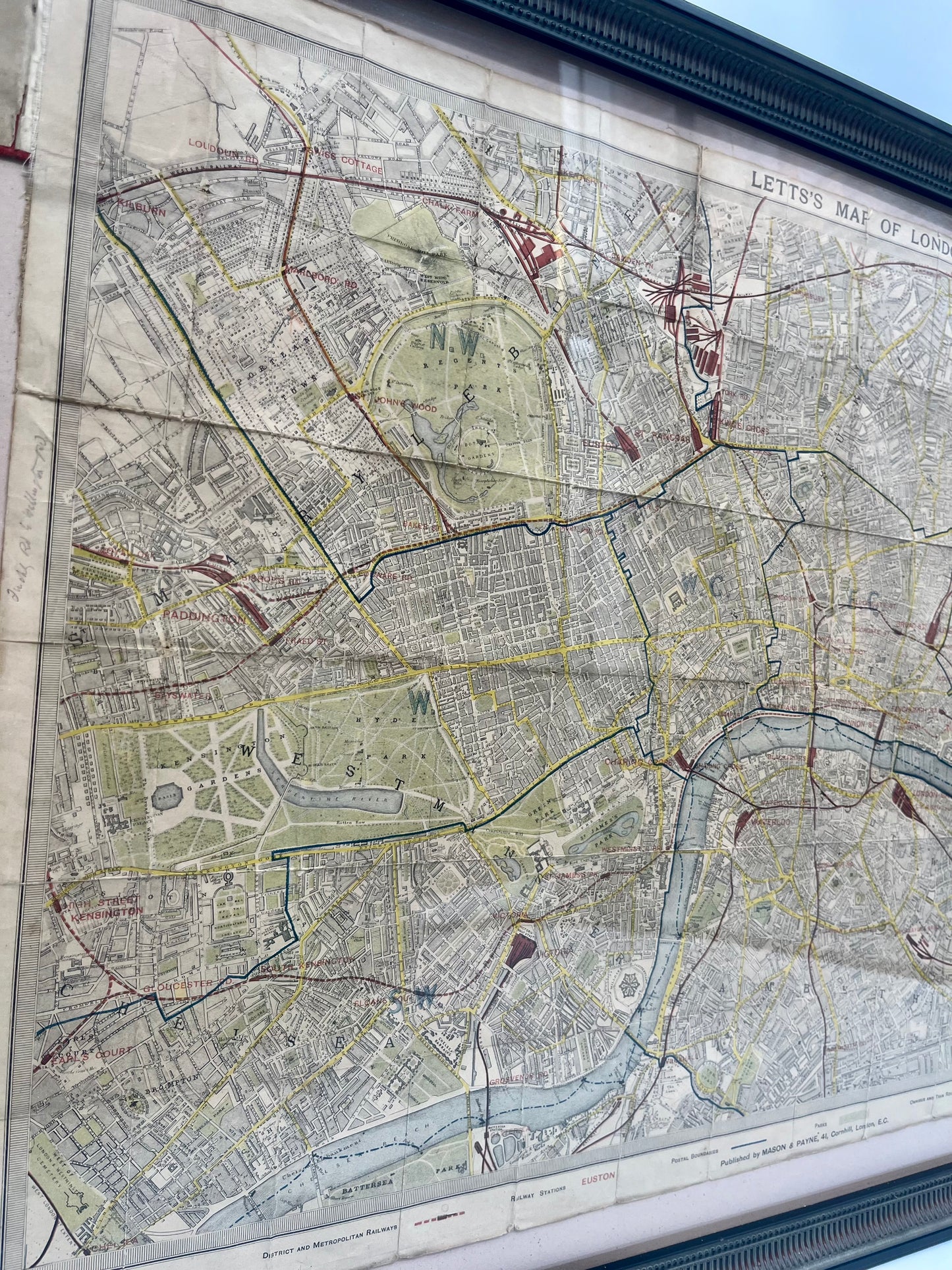
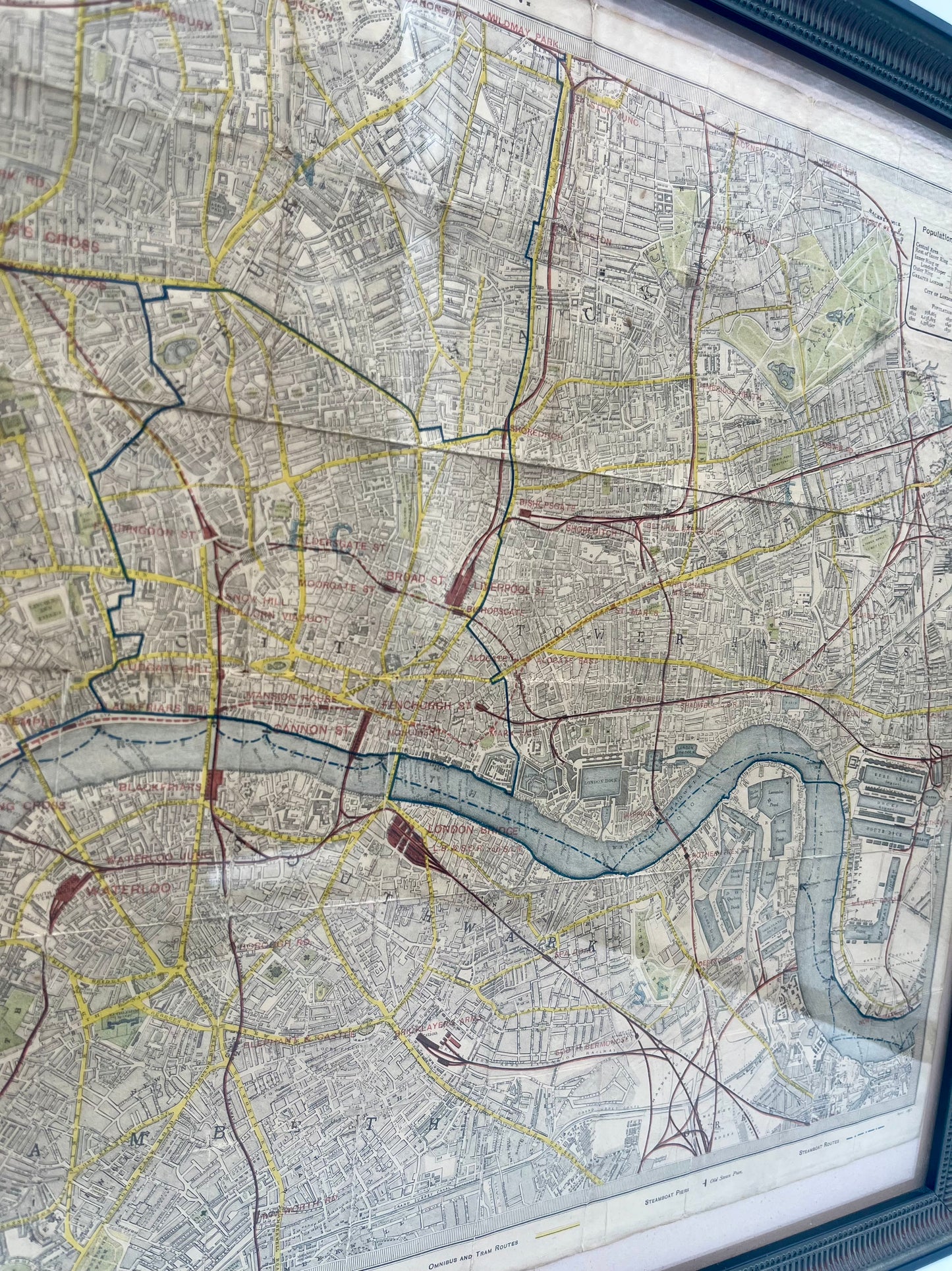
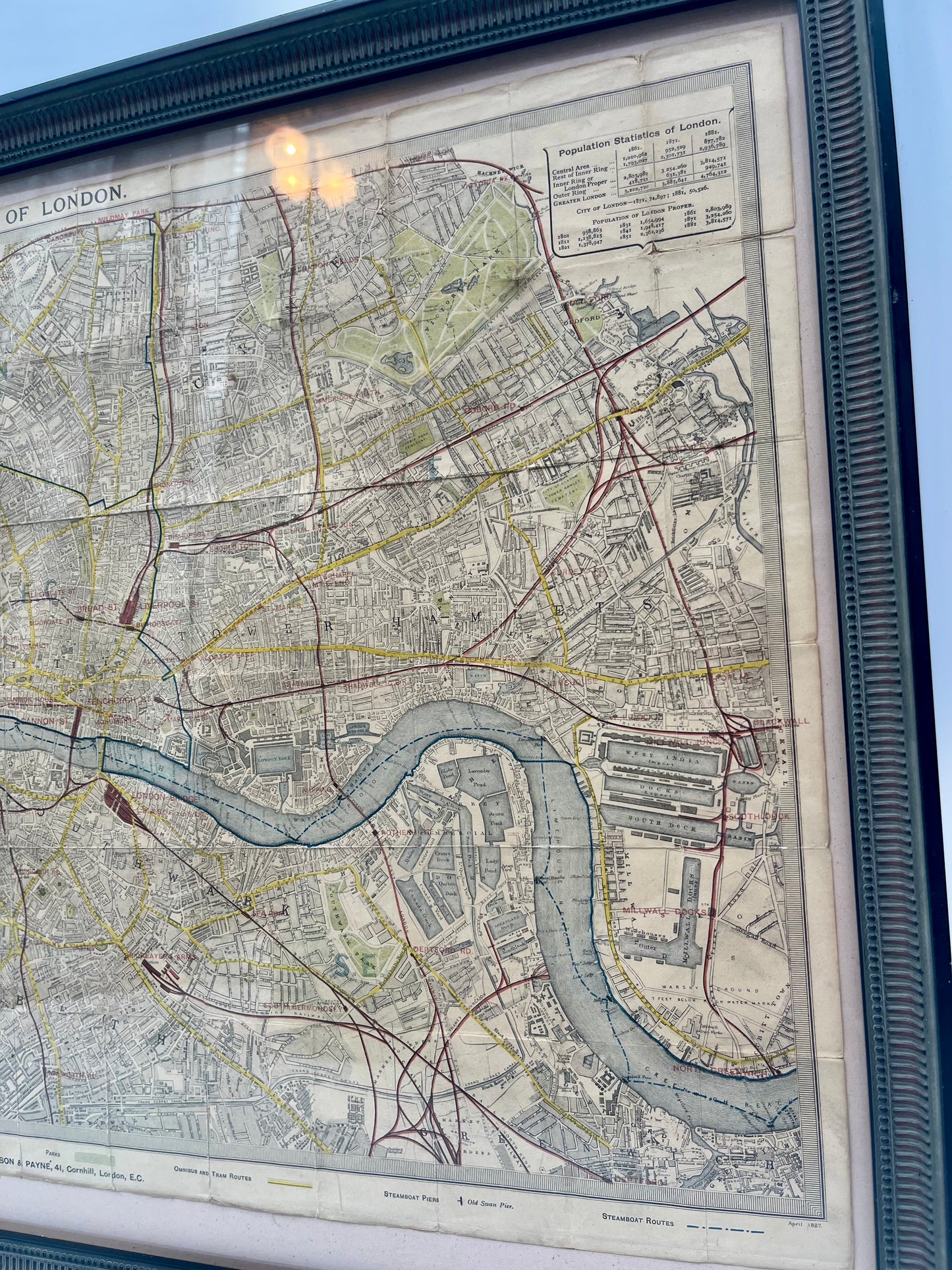
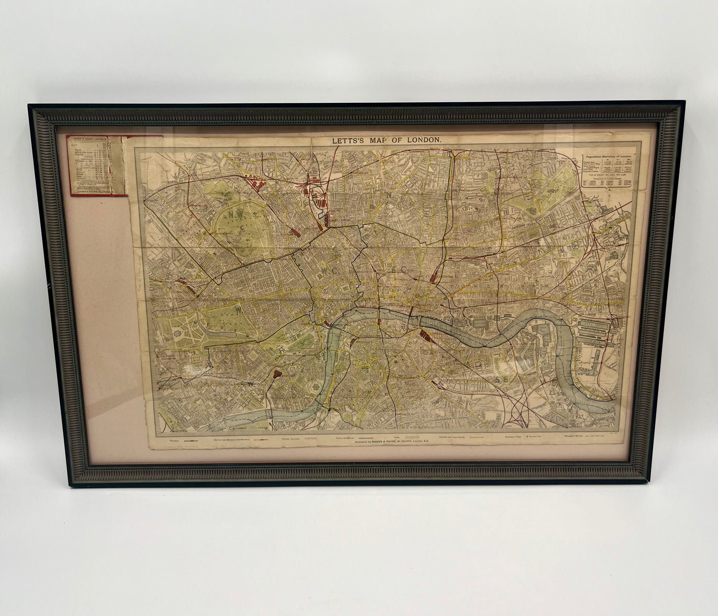
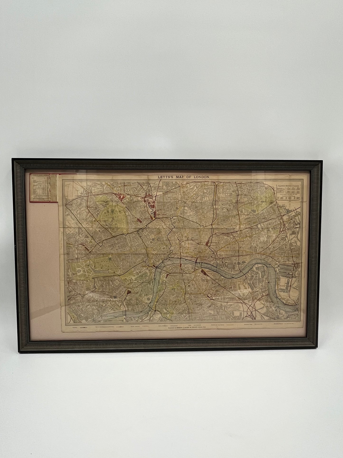
An incredible antique Lett's Pocket Map of London. Created by Thomas Letts (1804-1873), a renowned Victorian cartographer who specialized in pocket sized maps, calendars, and diaries. This 1881 linen-backed map covers the majority of London's inner city limits, and encompasses areas from Kilburn to Hackneywick, Chelsea to Deptford. The map is folded in sections measuring 2x3 inches. Sold and pictured in a custom wooden frame. Entire map can be folded up to fit into the binding pictured in the top left. After the print was pressed, this map was hand-colored with additional detail.
Dimensions: 26.0" x 15.7" (66.0 cm. x 39.9 cm.)
" Thomas Letts.... was the agent for the Ordnance Survey and the Geological Survey. He acquired and updated the engraved map plates which had been used for the earlier SDUK (Society for the Diffusion of Useful Knowledge) atlas - these were reprinted in various editions of "Letts's Popular Atlas" in the 1880's."
