Taylor Haus Galleries
1870's H.B. Nims & Co. Terrestrial Globe
1870's H.B. Nims & Co. Terrestrial Globe
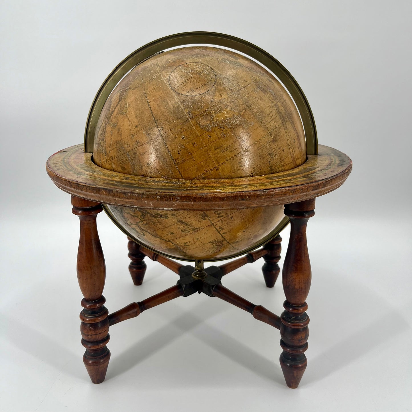
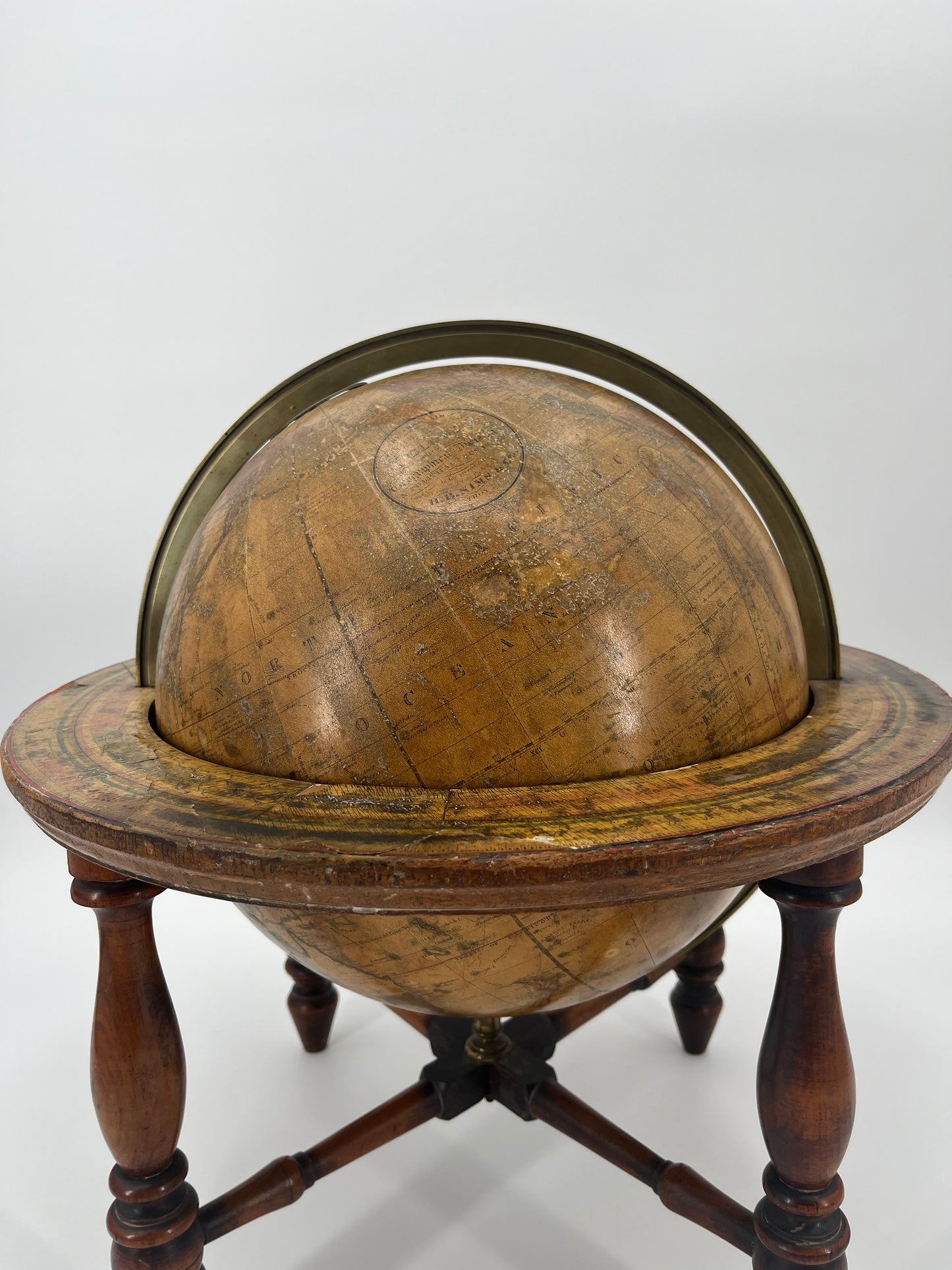
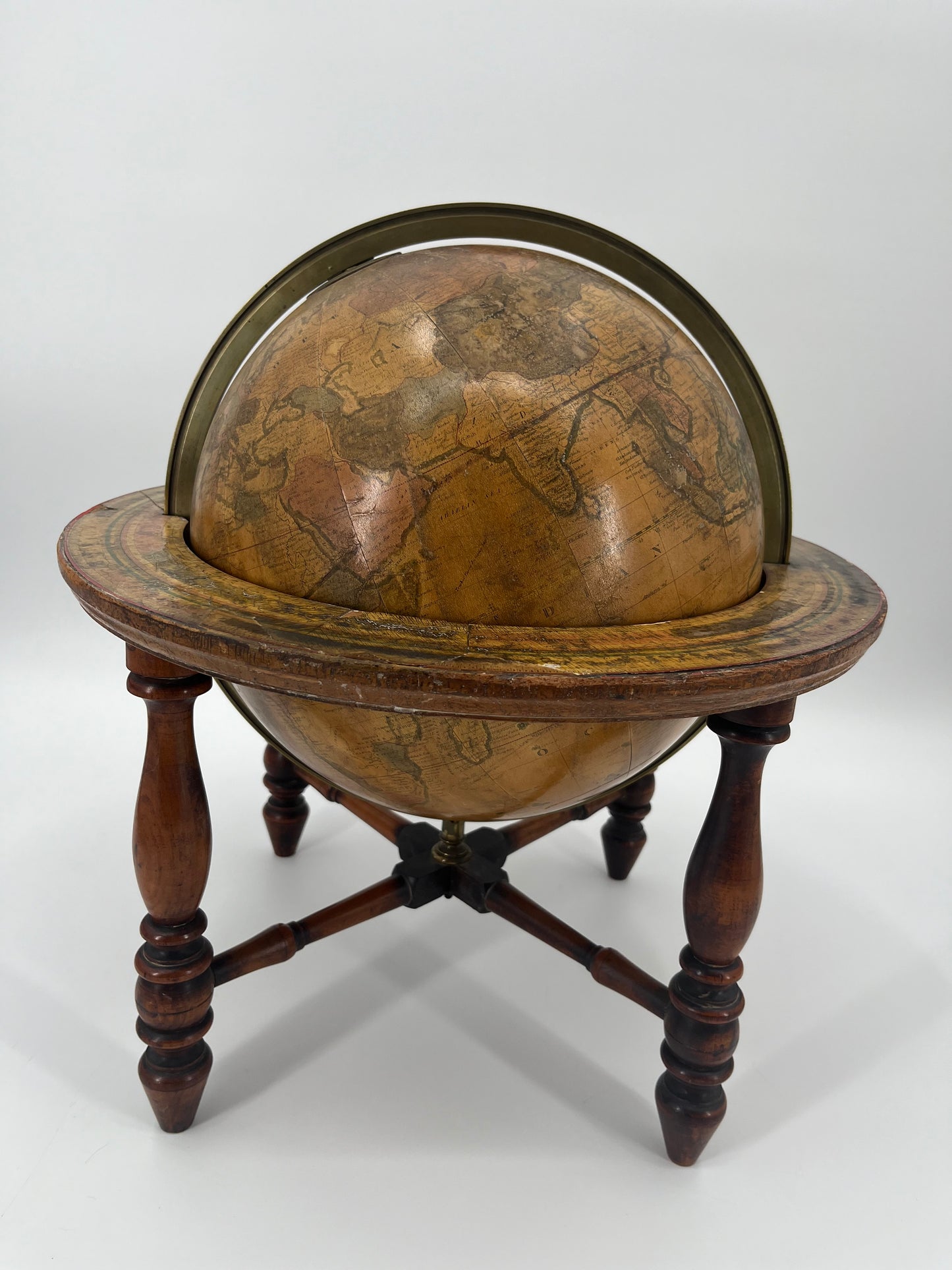
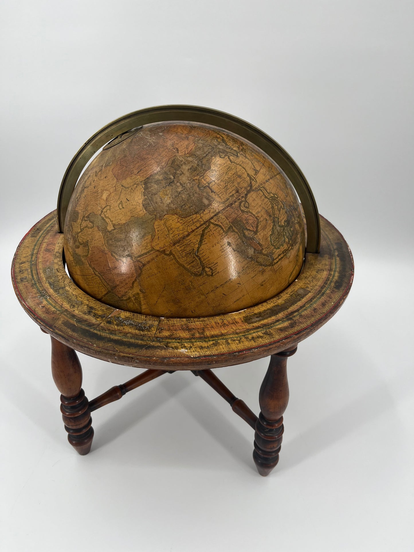
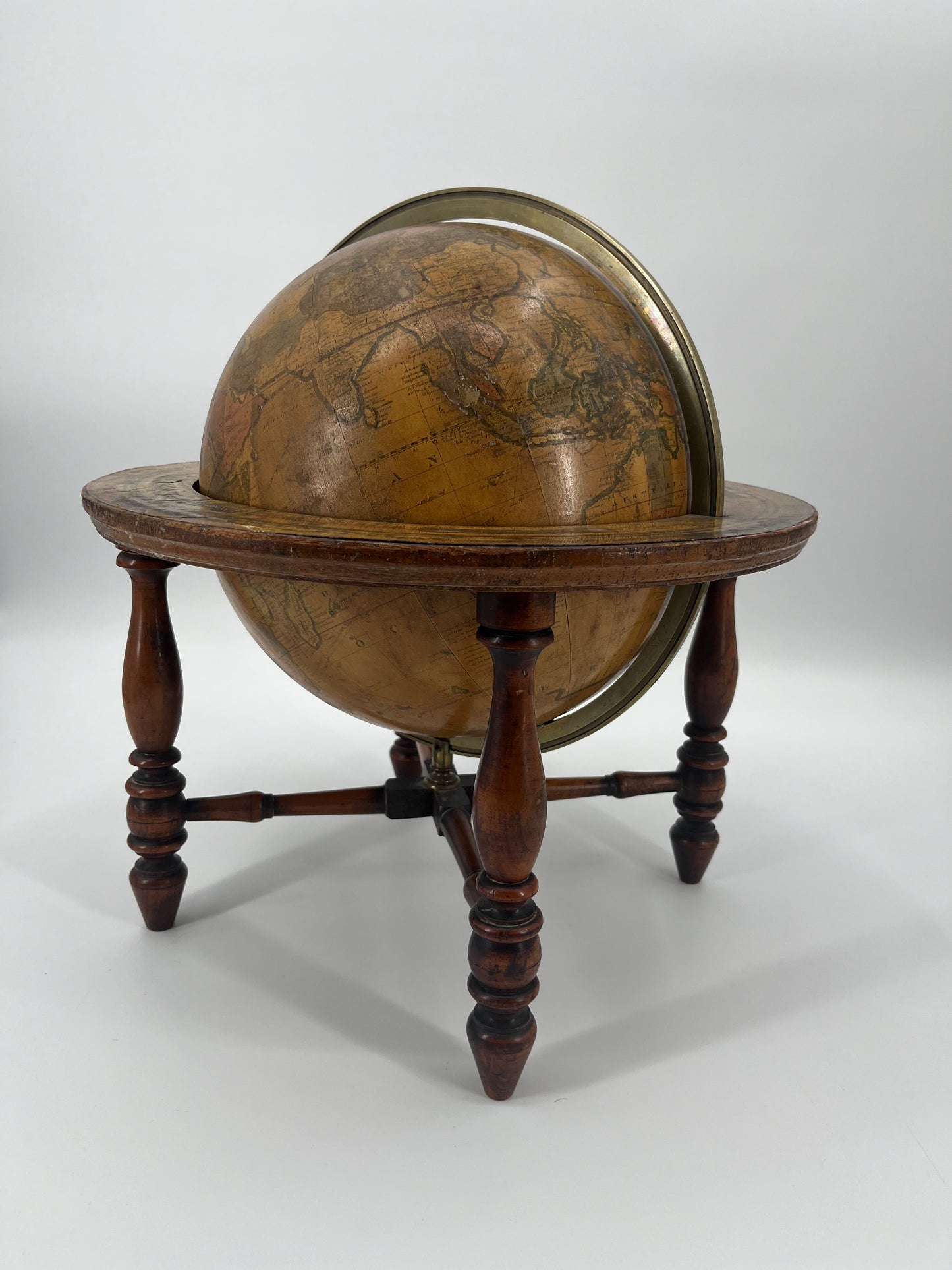
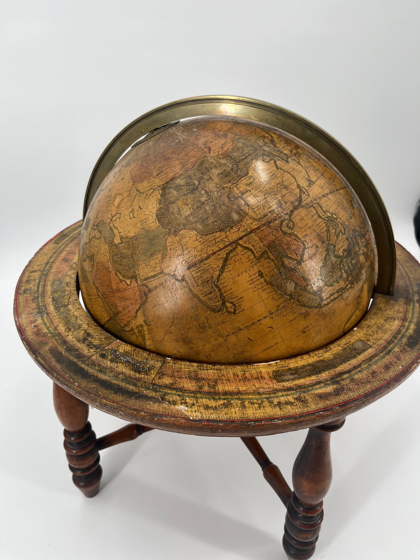
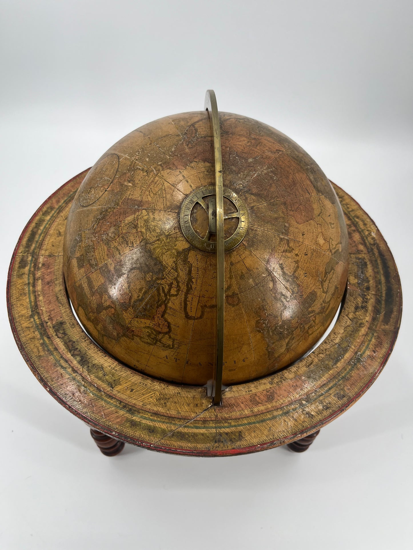
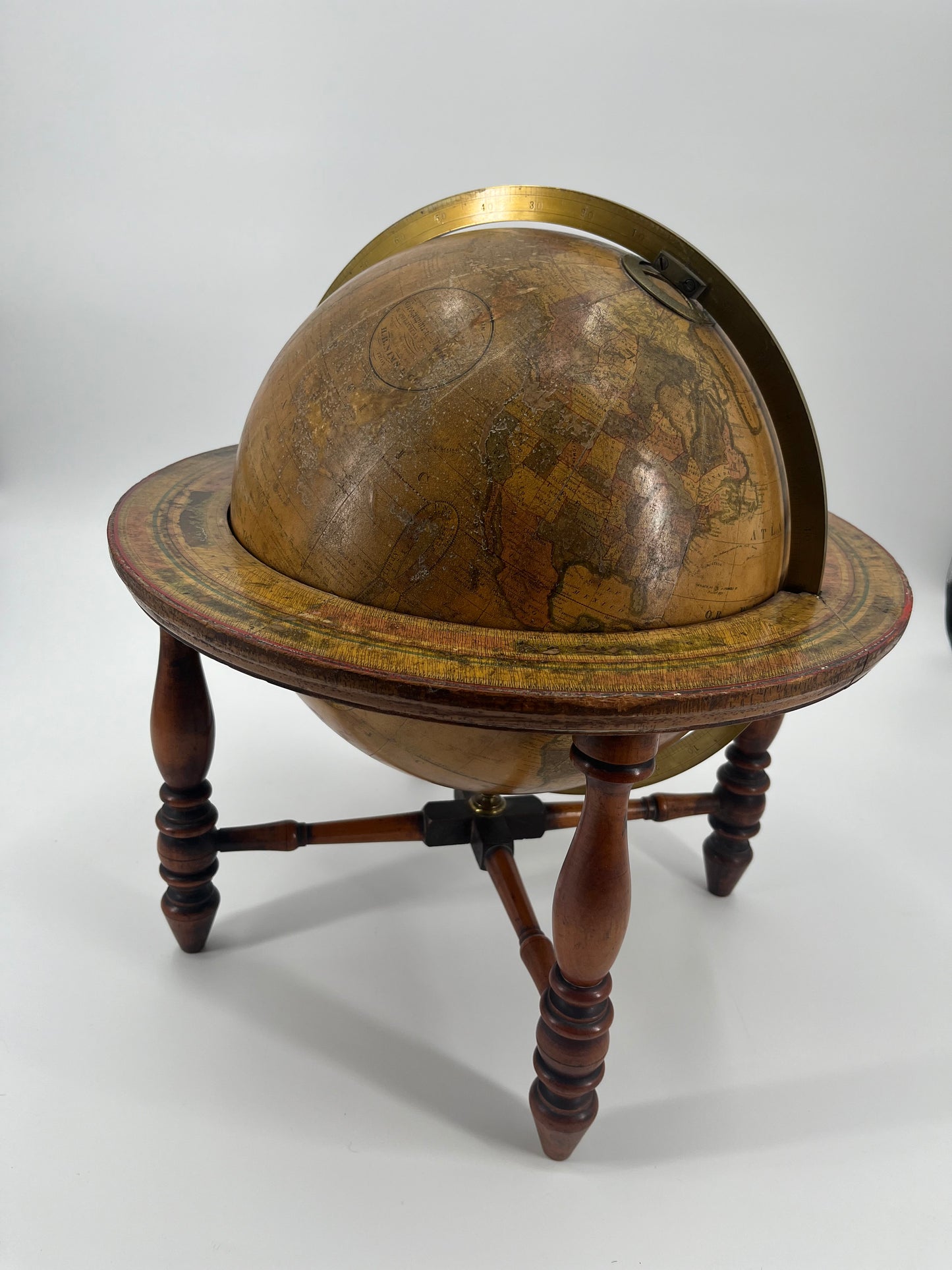
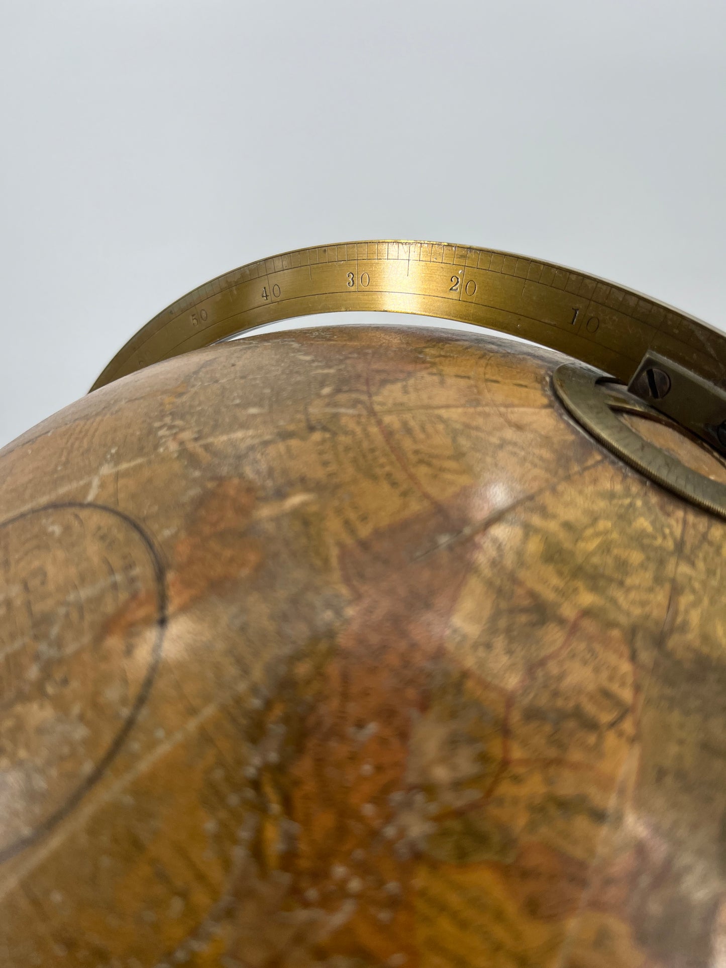
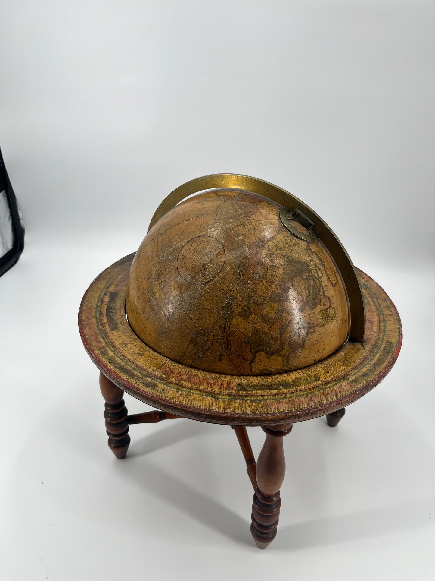
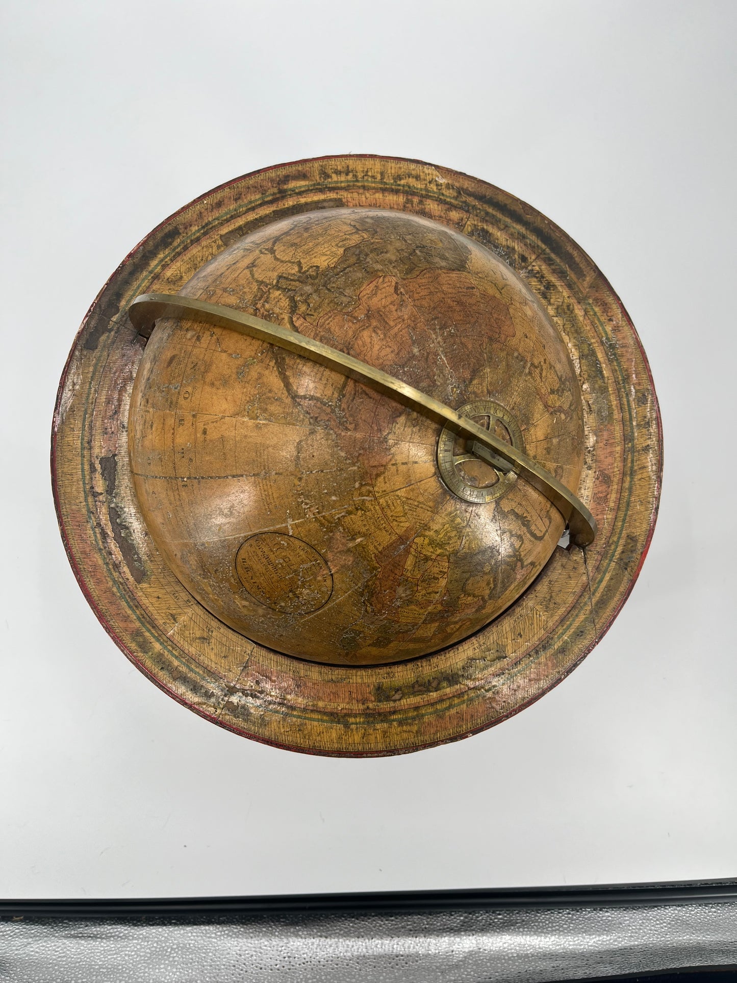
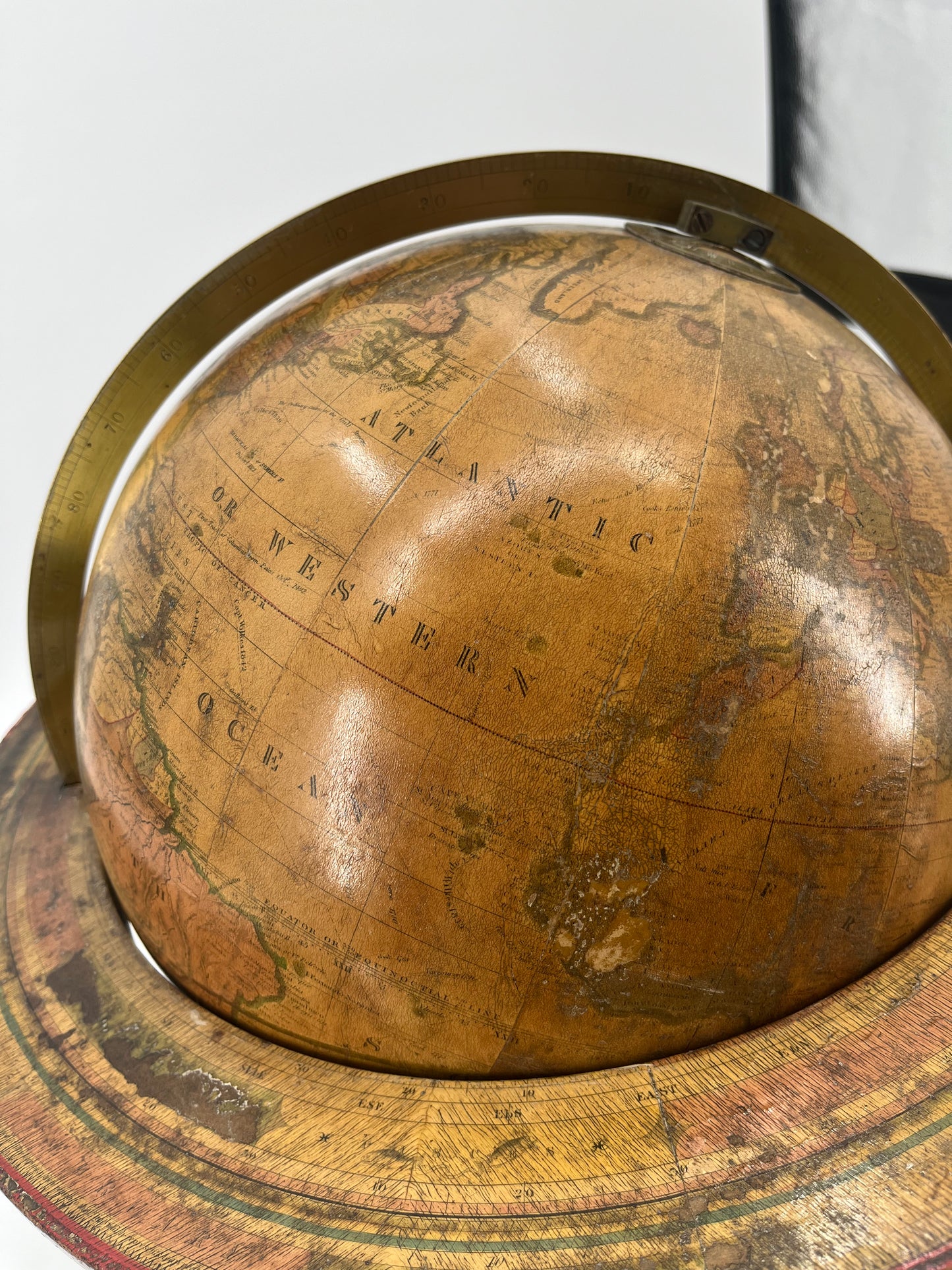
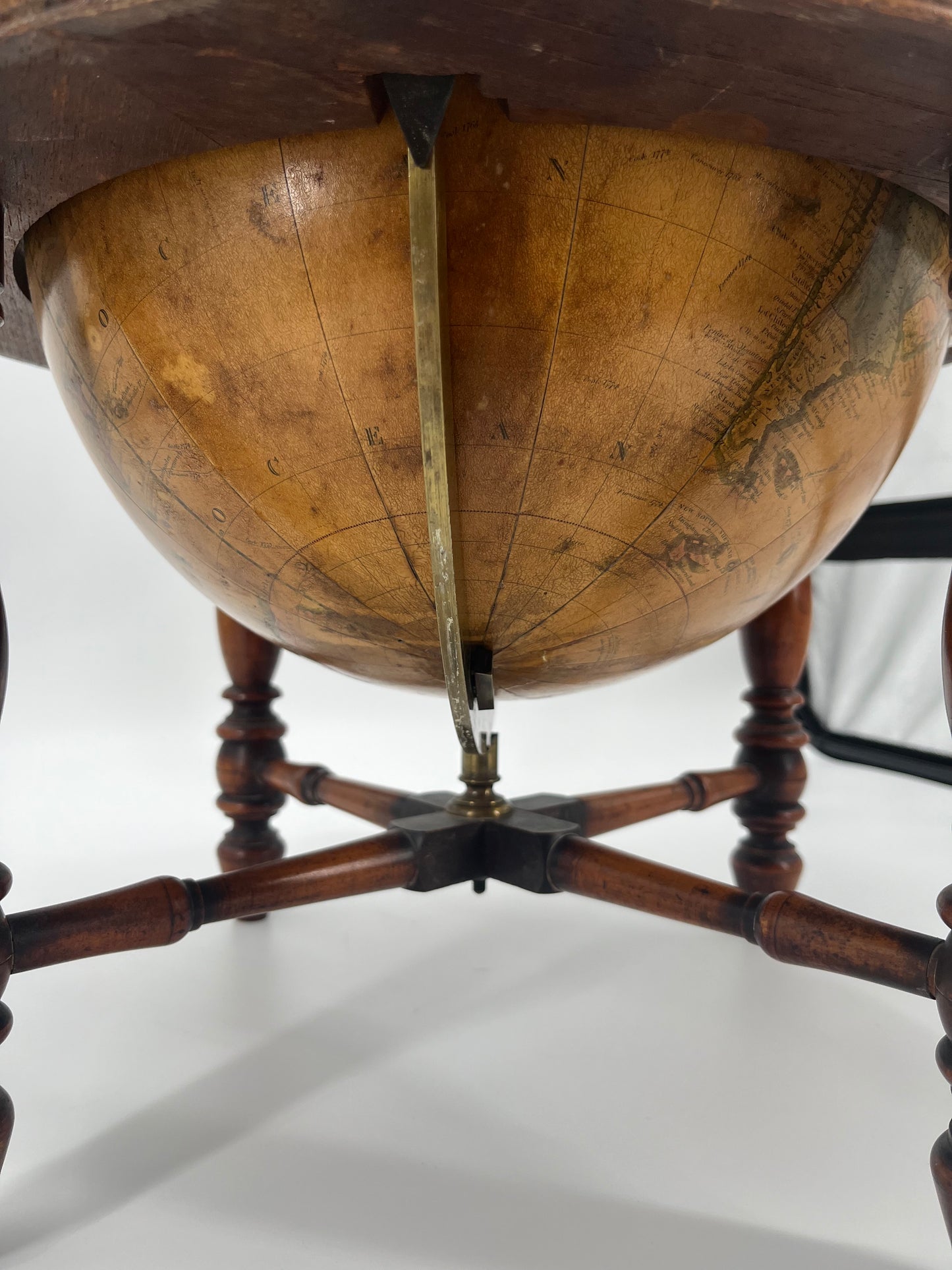
A fine 12-Inch Franklin Terrestrial World Table Globe by H.B. Nims & Co., circa 1870. Extremely early model. This globe features a calibrated brass hour circle, brass meridian, and paper circular horizon band (engraved with the calendar and zodiac). Displayed on a 4-leg raised hardwood stand.
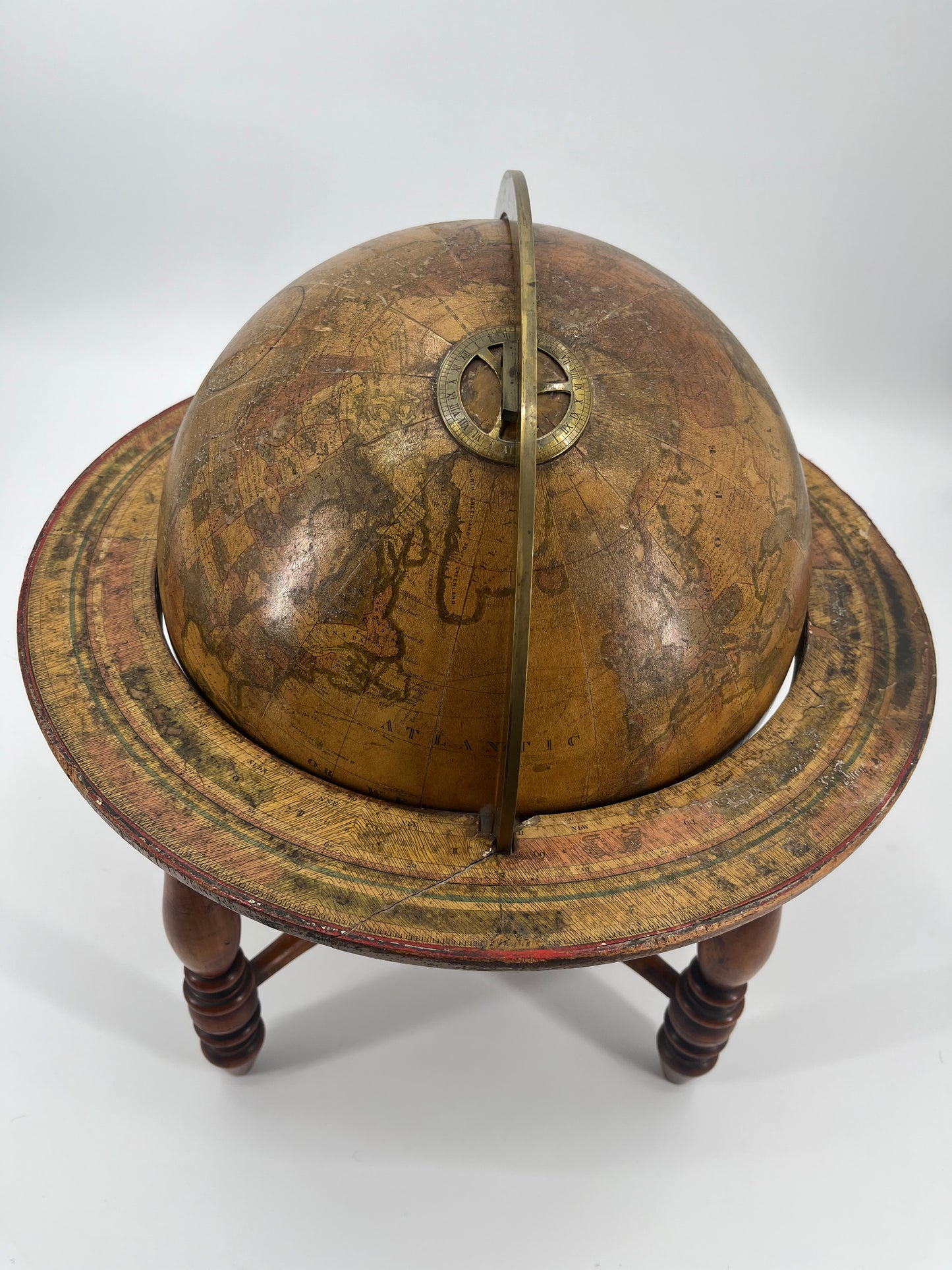
Interestingly noted are the "Submarine Telegraph Cable" & "Submarine Telegraph (French)" markings in the Atlantic Ocean, with the French having laid their first Transatlantic cable in 1869. Other notable features are the historic routes of Columbus, Cook, Clerke, Gore, Vancouver, Perouse, and Wilkes.
Weddell's expedition below the Arctic Circle (1823) is also marked, and a partial outline of the Antarctic Continent specifically near Southern Australia.
Also Noted- Oklahoma, marked 'Dacota' was then part of Indian Territory. "Idaho, Utah, Nevada and Wyoming shown in their post-1868 configurations but not with final boundaries. Alaska Territory is shown indicating a date after 1867. “Yellowstone” is indicated in Wyoming and Montana, but the words “National Park” are not present". (Yellowstone National Park being established in 1872).
Differing terrain is marked with darker shades of yellow, blue, and green (green also used for outlines), Oceans and regular land masses are colored differing shades of cream, with additional shading on mountain ranges. A 'Table of Equations' can be found in the analemma (figure-eight) in the Pacific Ocean. Printed cartouche signed 'H.B. Nims & Co.'.
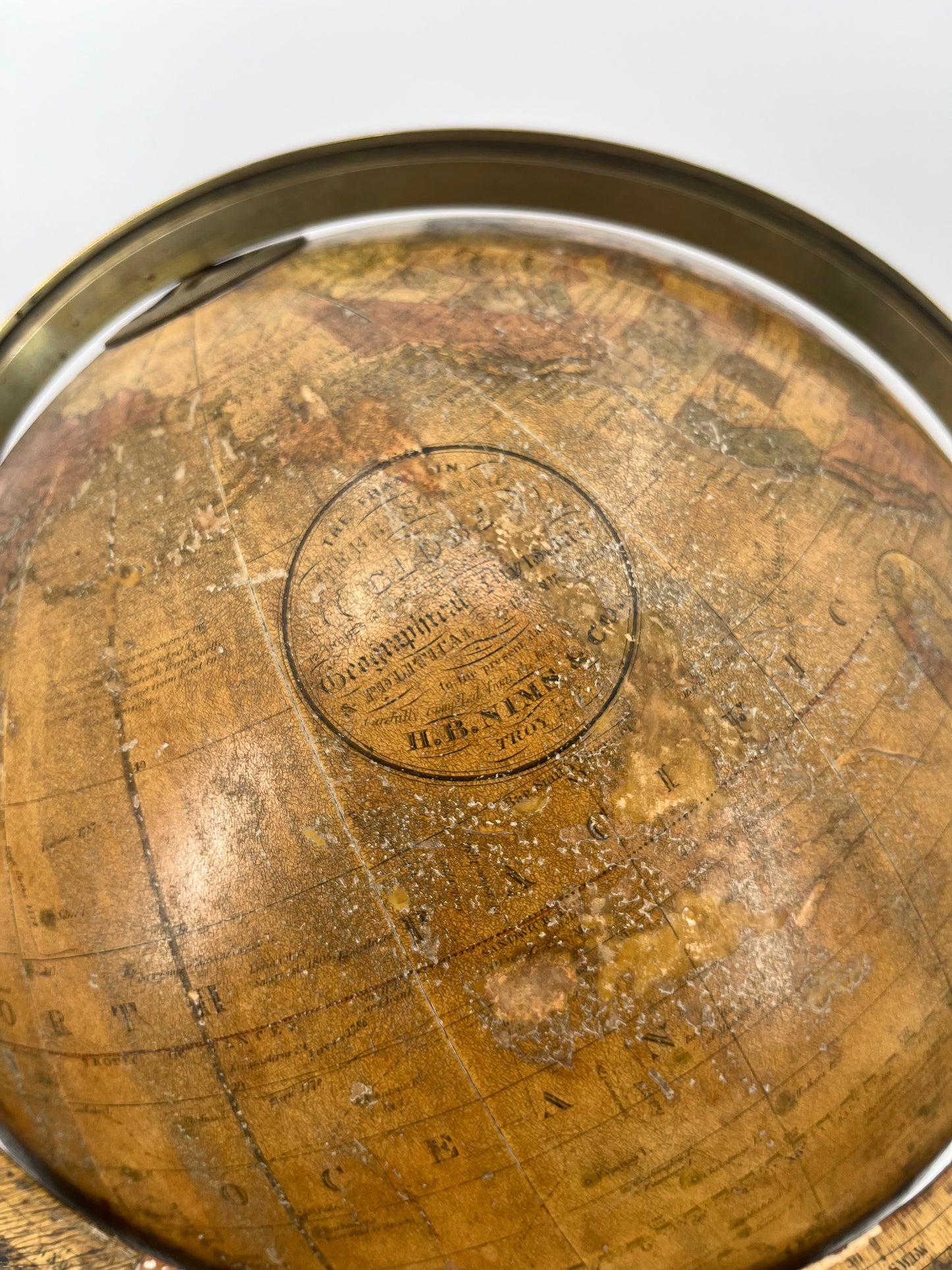
Circular Cartouche:
"THE FRANKLIN/ TERRESTRIAL/ GLOBE/ 12 INCHES IN DIAMETER CONTAINING ALL THE/ Geographical Divisions/ & POLITICAL BOUNDARIES/ to the present date/ Carefully Compiled from the best Authorities/ H.B. NIMS & CO./ TROY N.Y./ Rae Smith Engraver/ N.Y"
Additional Globe Markings:
“The Pacific Ocean was discovered by Balboa in 1513. First navigated by Magellan in 1520. It extends from North to South 7,500 miles and from East to West 10,000 miles.”
“Formerly the whole of the Islands in the S.E. and E. of Asia were included among the Asiatic Islands. With the exception of [several listed] they are now considered as forming a fifth ground division of the Globe called OCEANICA or the MARITIME WORLD, which is divided into three principal groups, namely, Malaysia [details listed], Australasia [details listed], and Polynesia [details listed].”
Height:17.75"
Diameter: 17.00"
For Pricing & Inquiries, Please Email: info@taylorhausgalleries.com