Taylor Haus Galleries
Carte de poche de Londres de 1881
Carte de poche de Londres de 1881
Impossible de charger la disponibilité du service de retrait
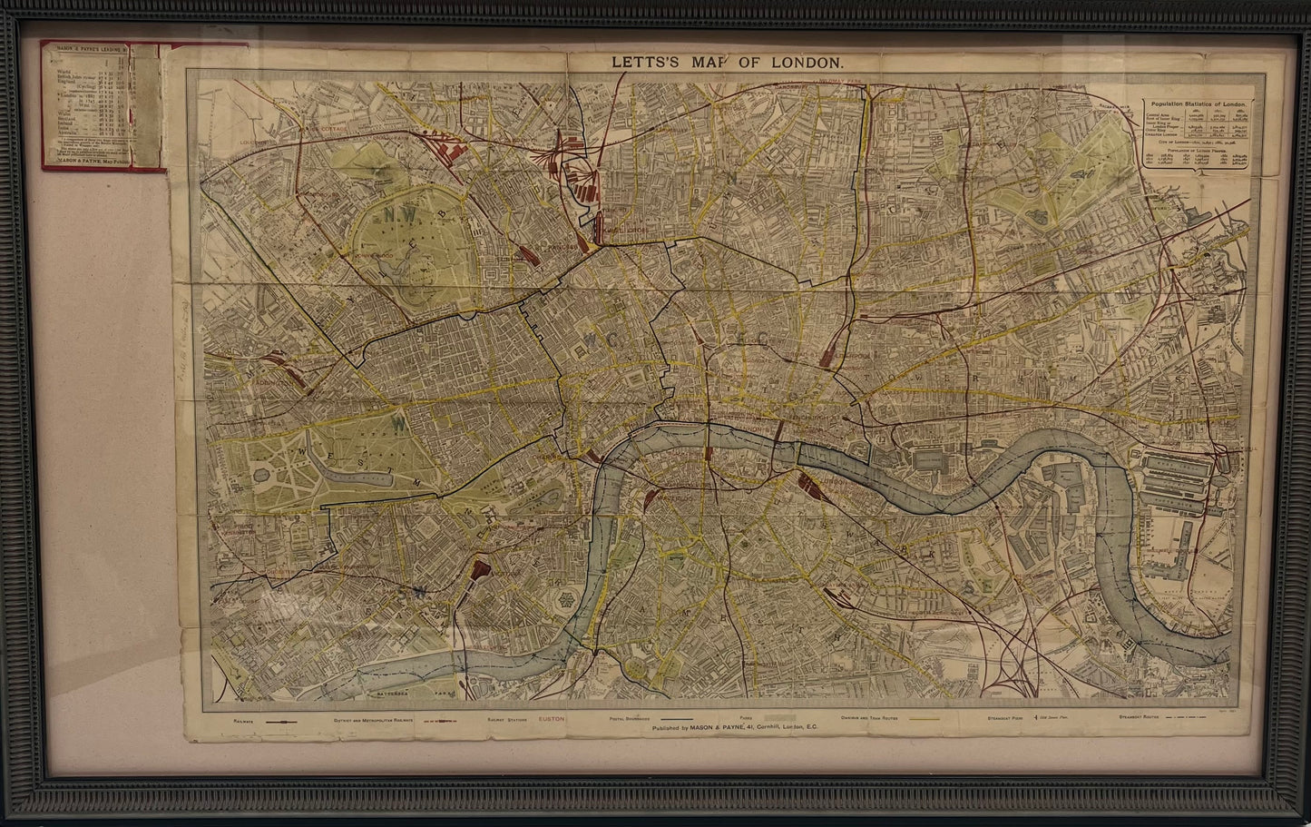
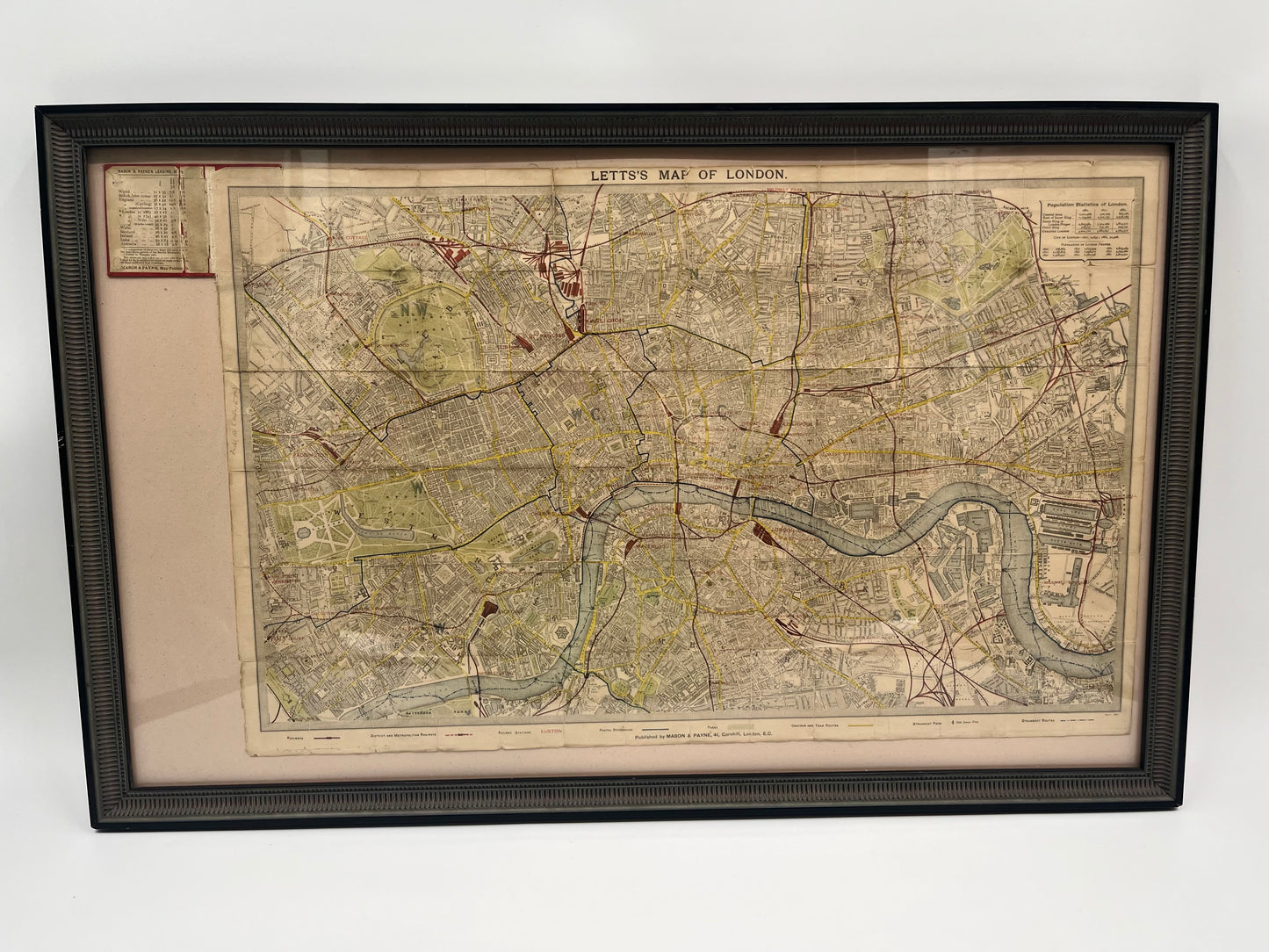
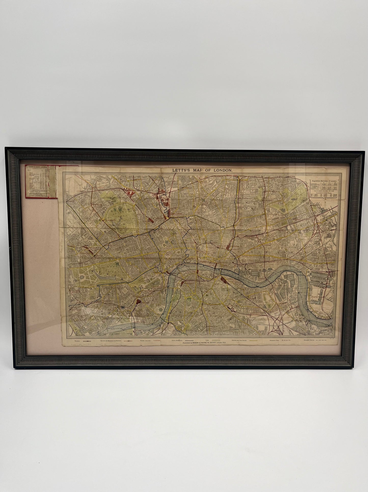
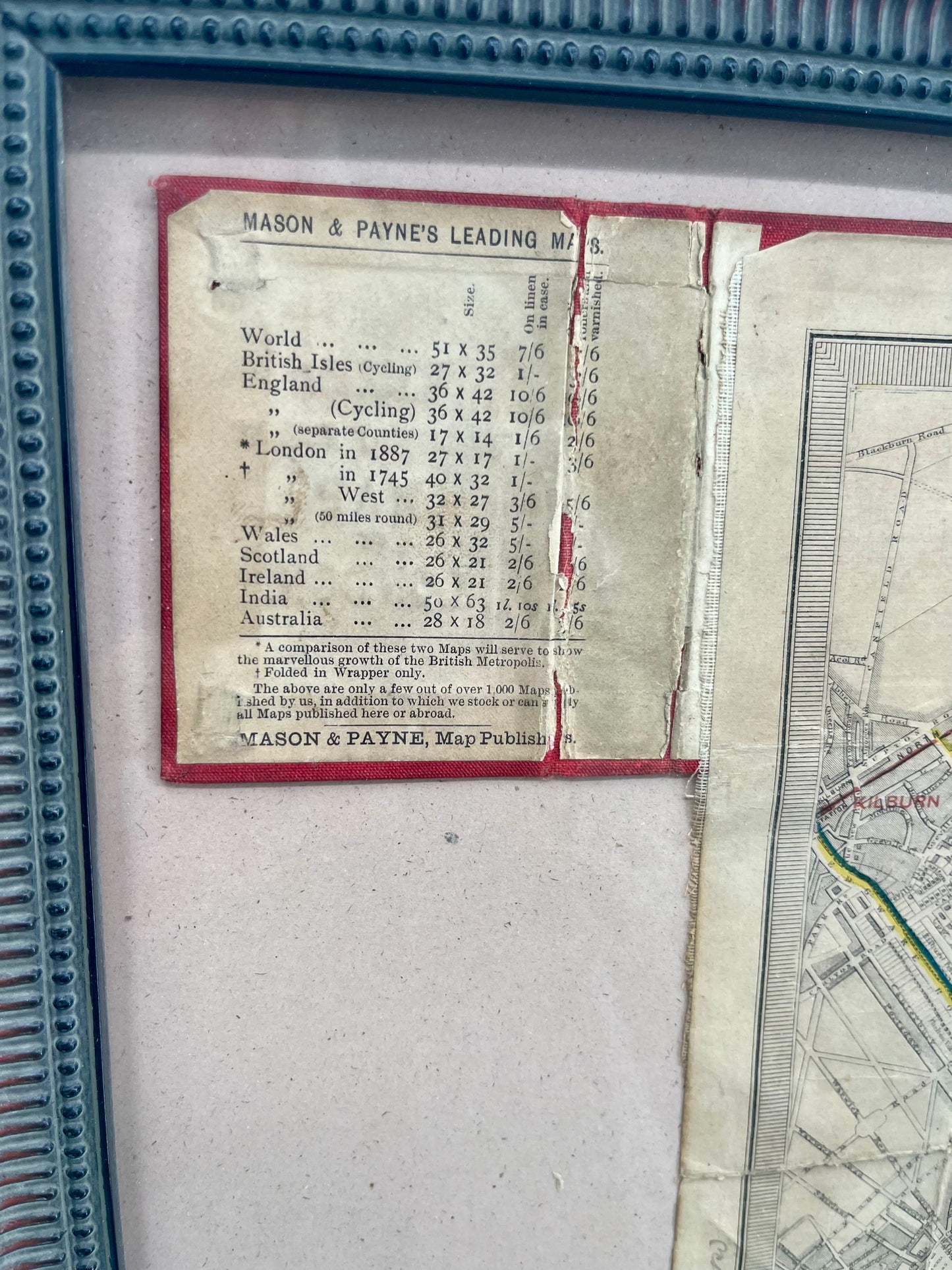
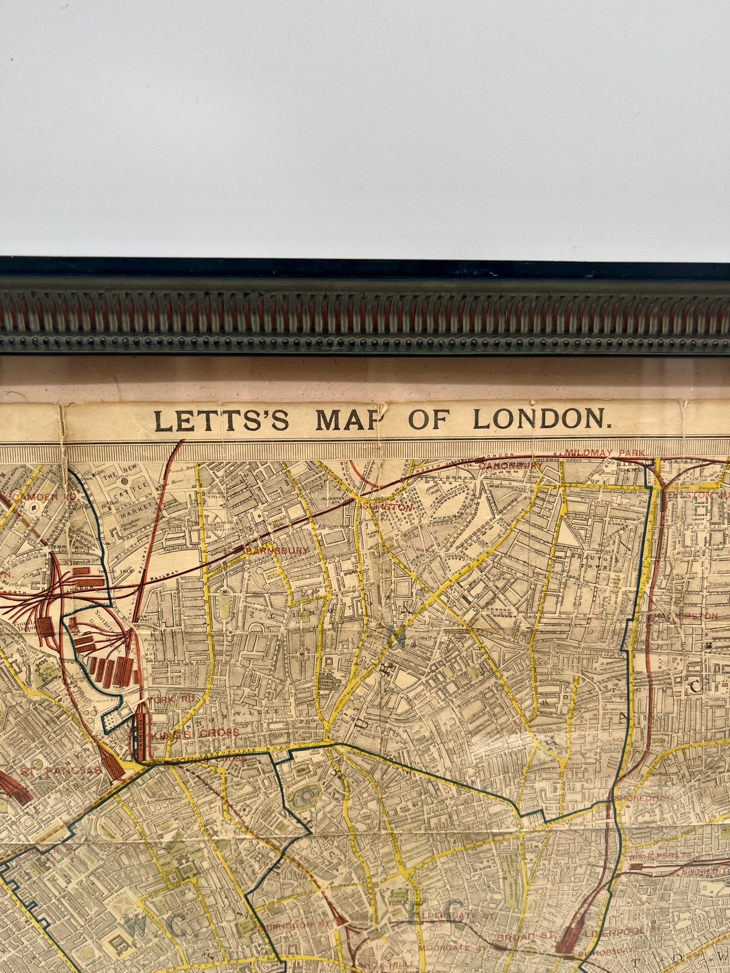
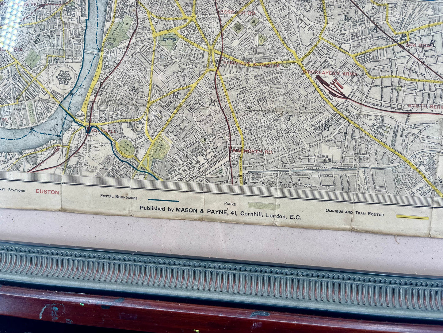
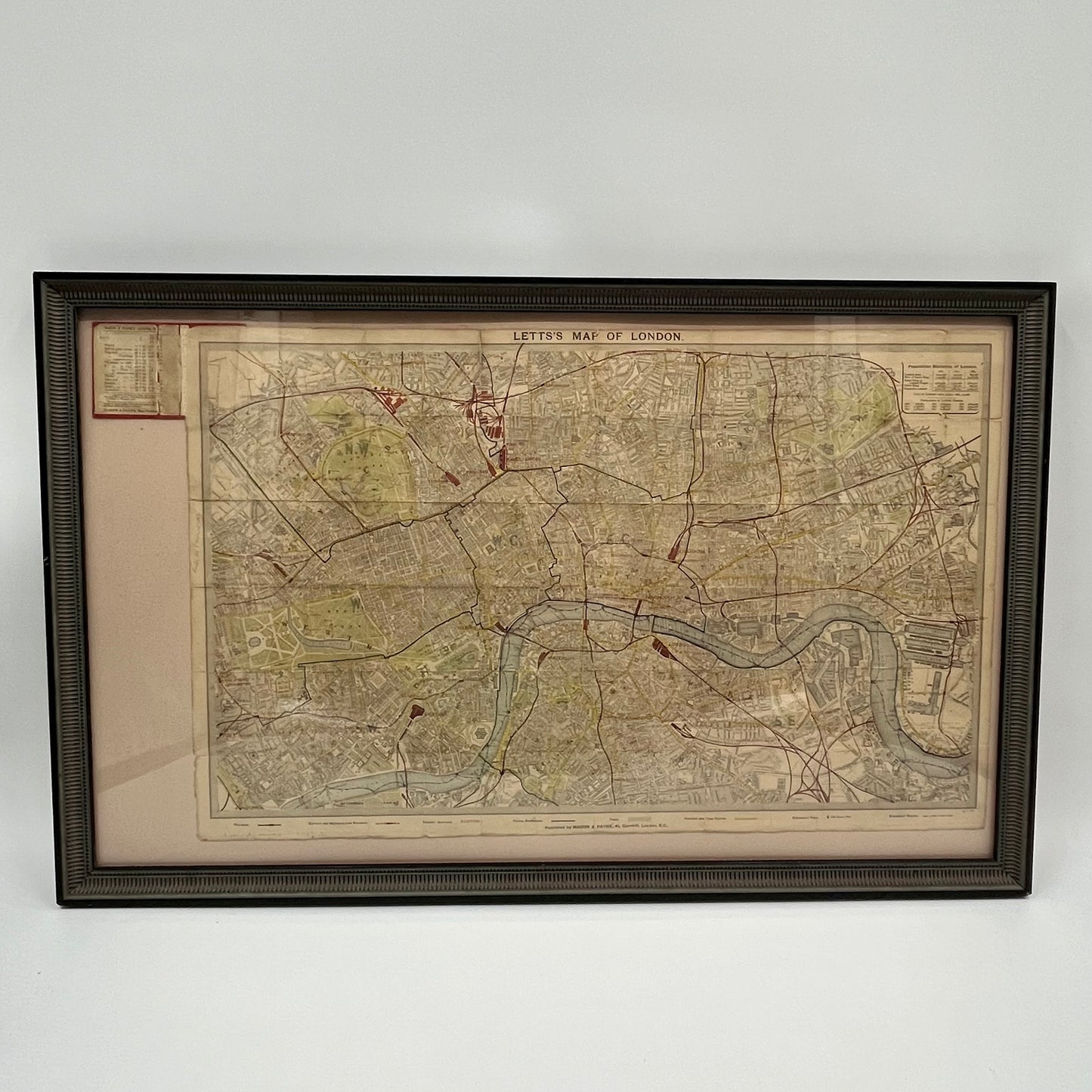
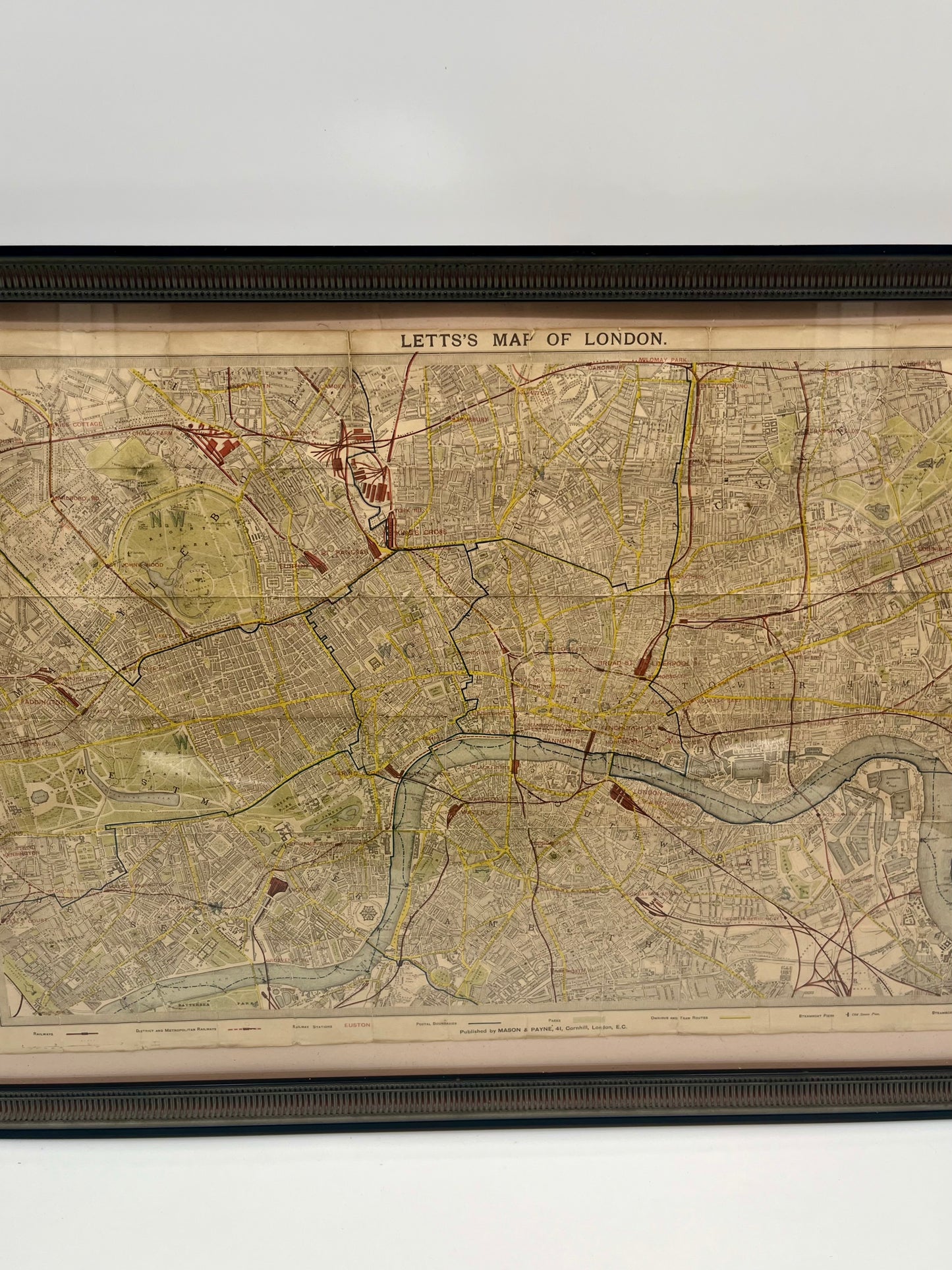
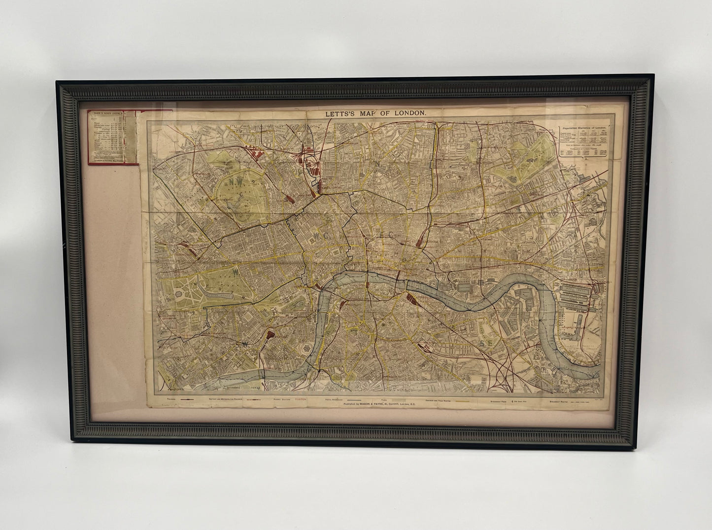
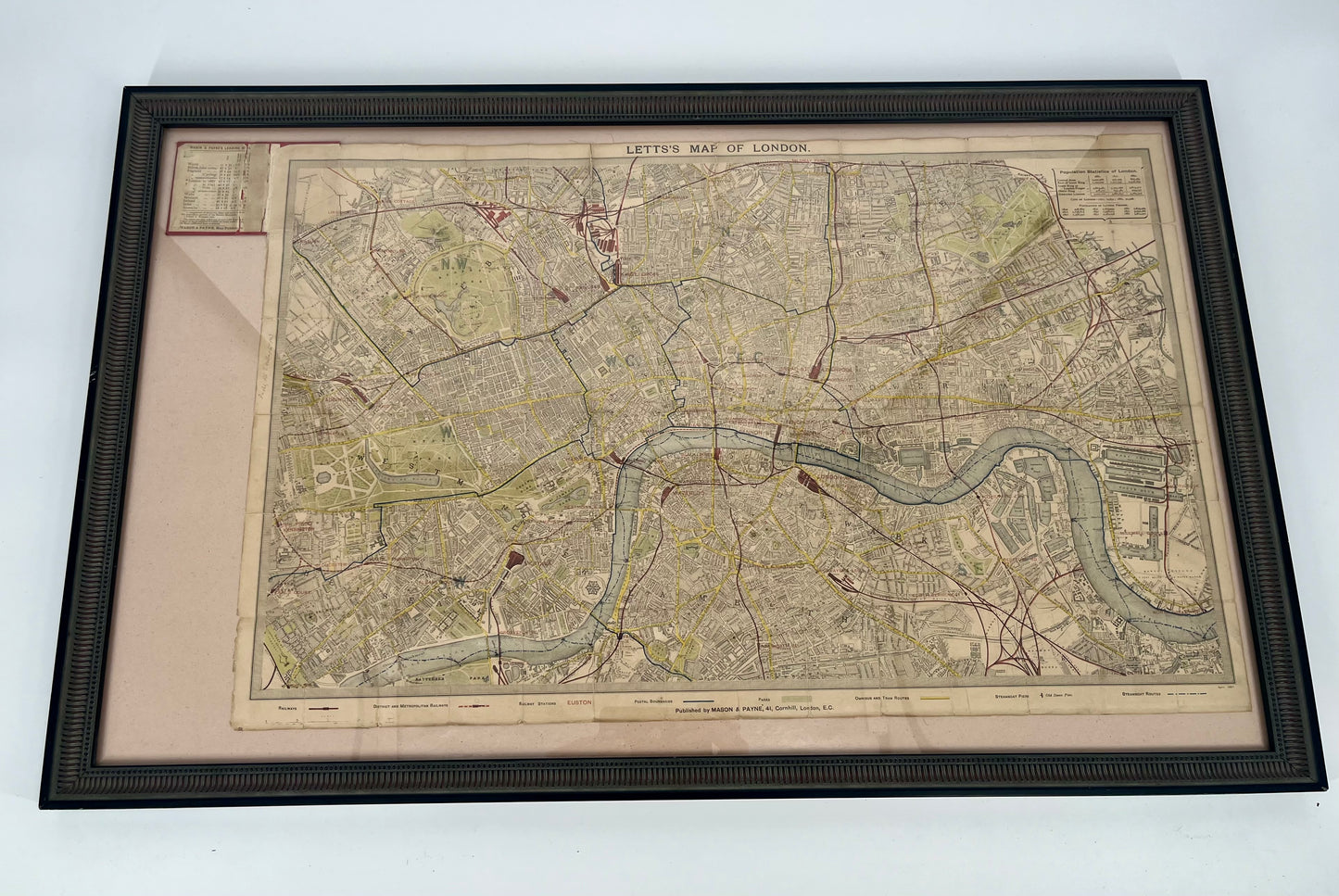
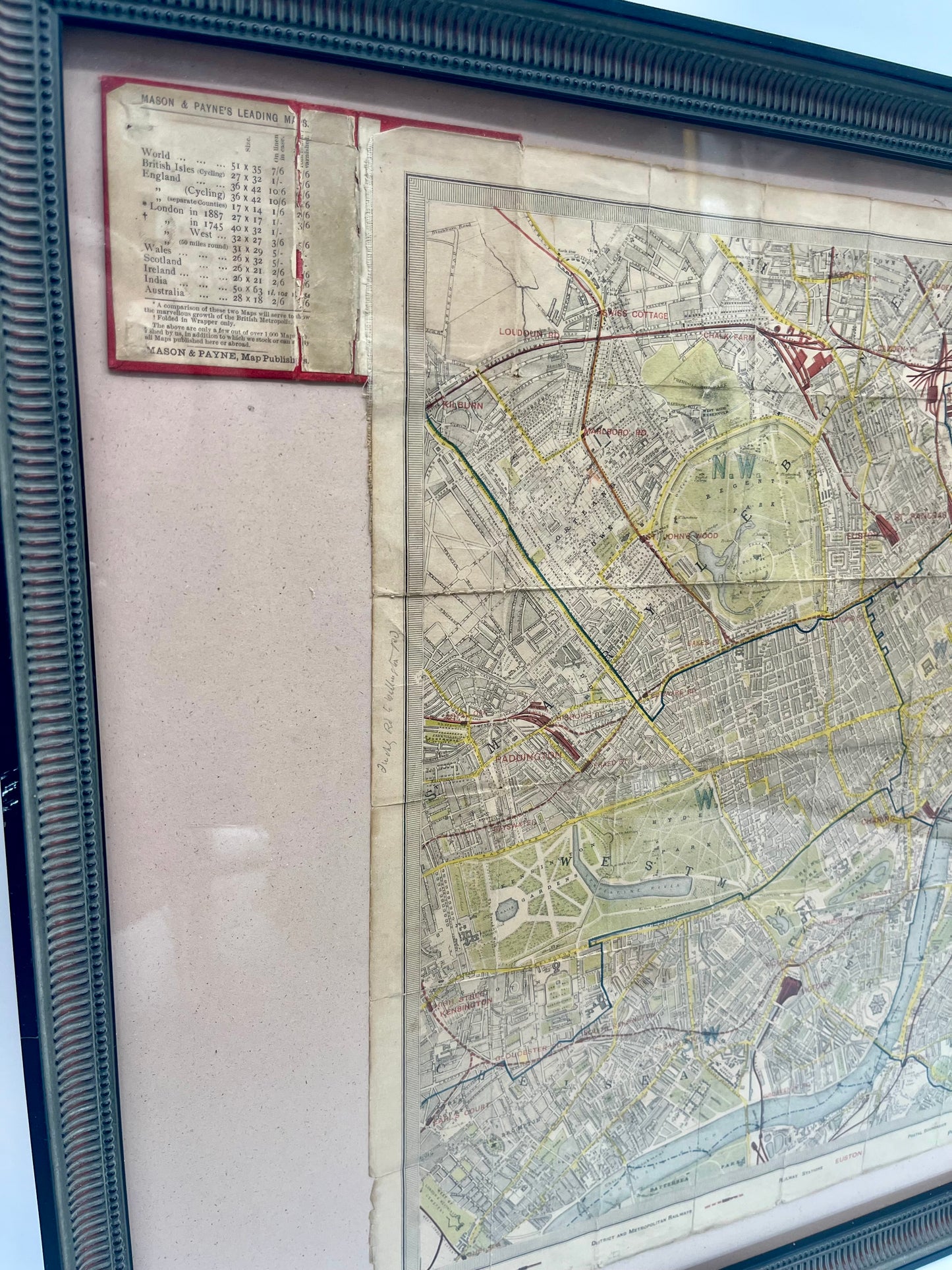
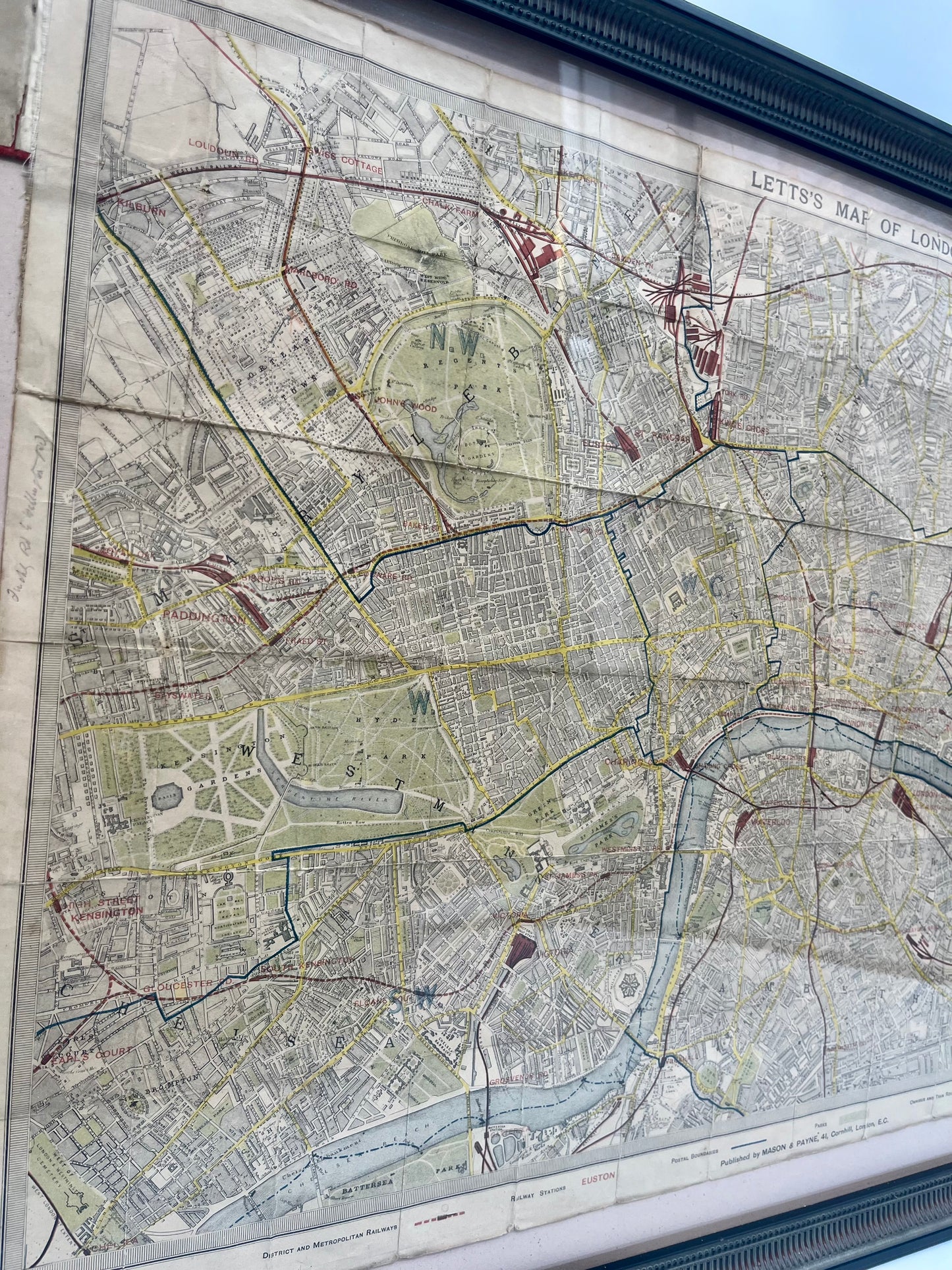
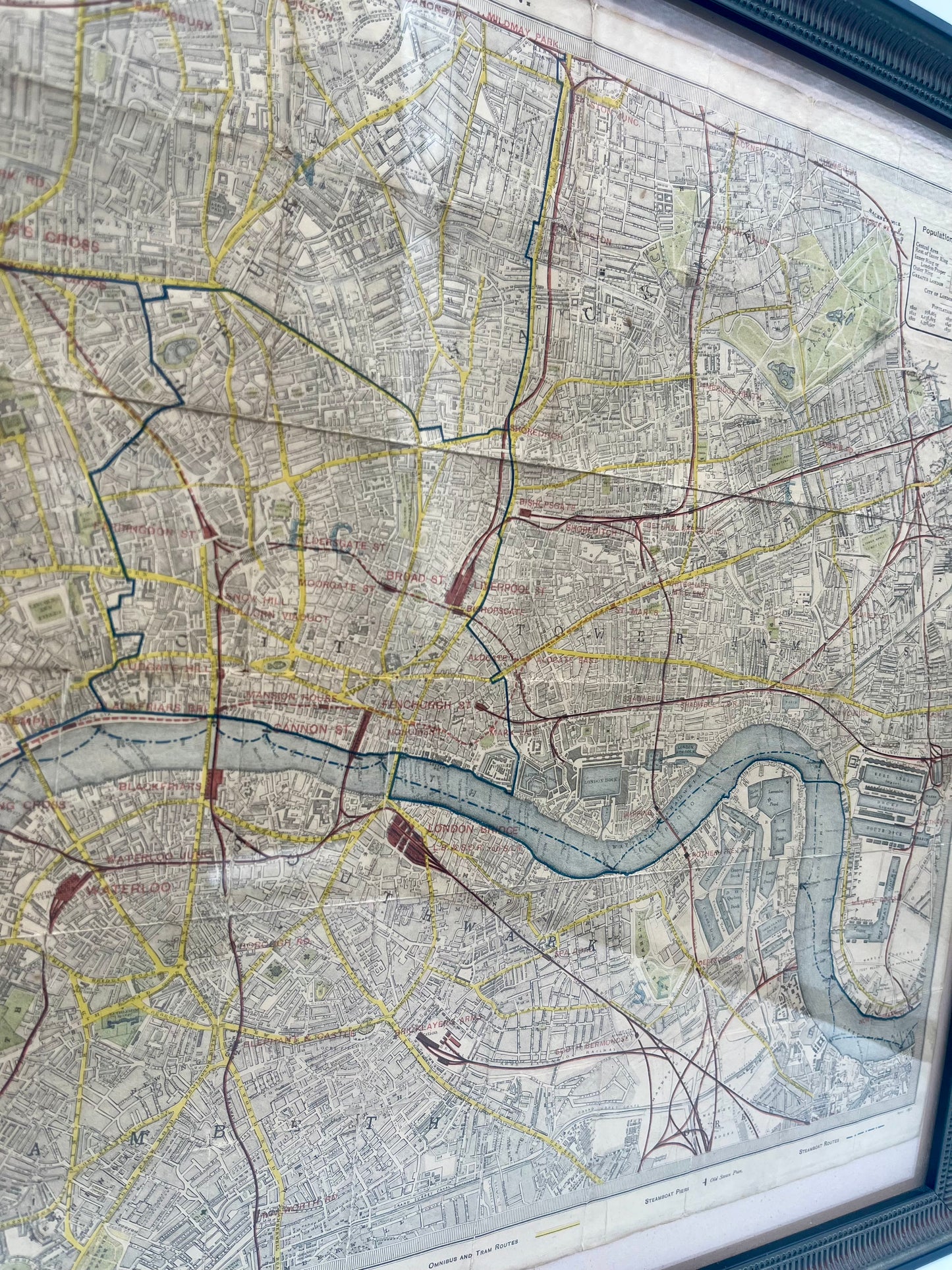
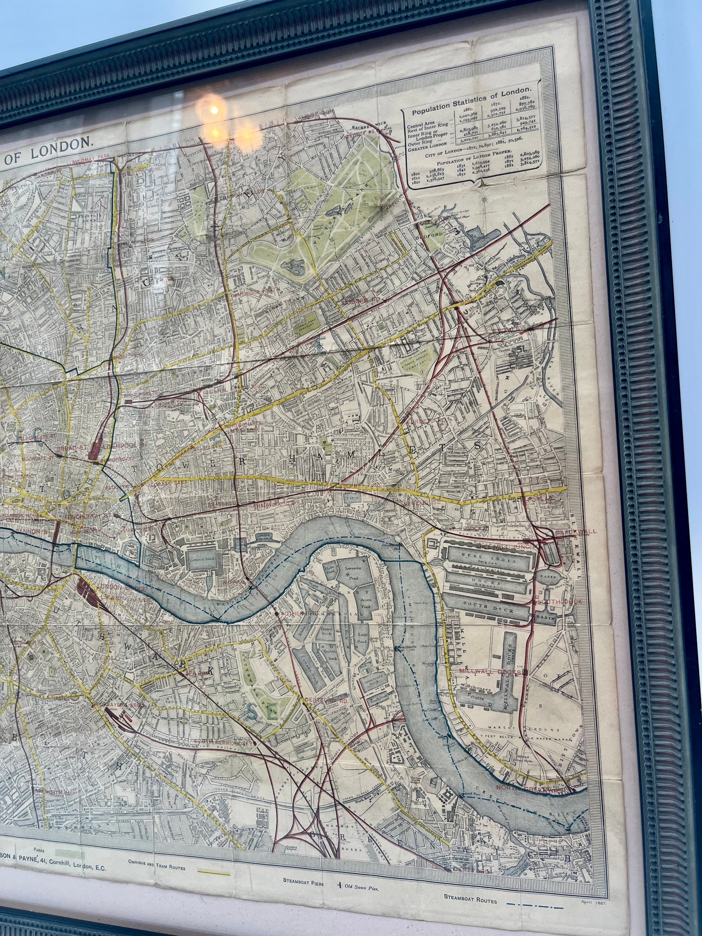
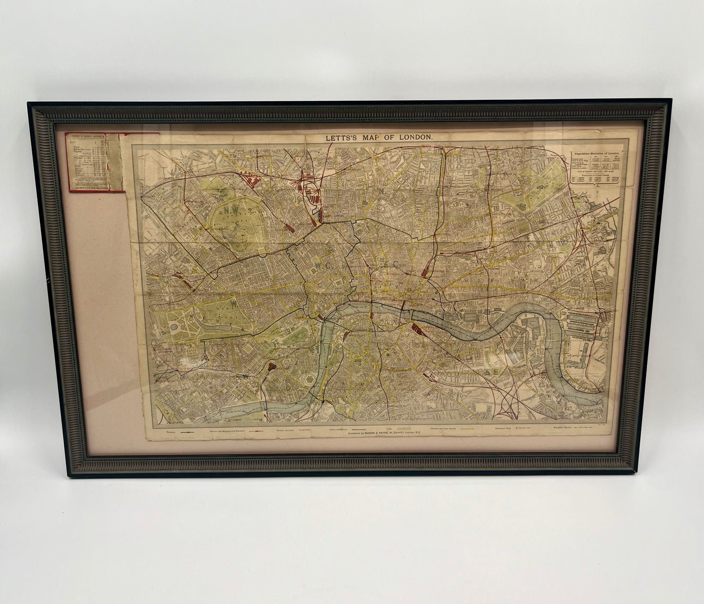
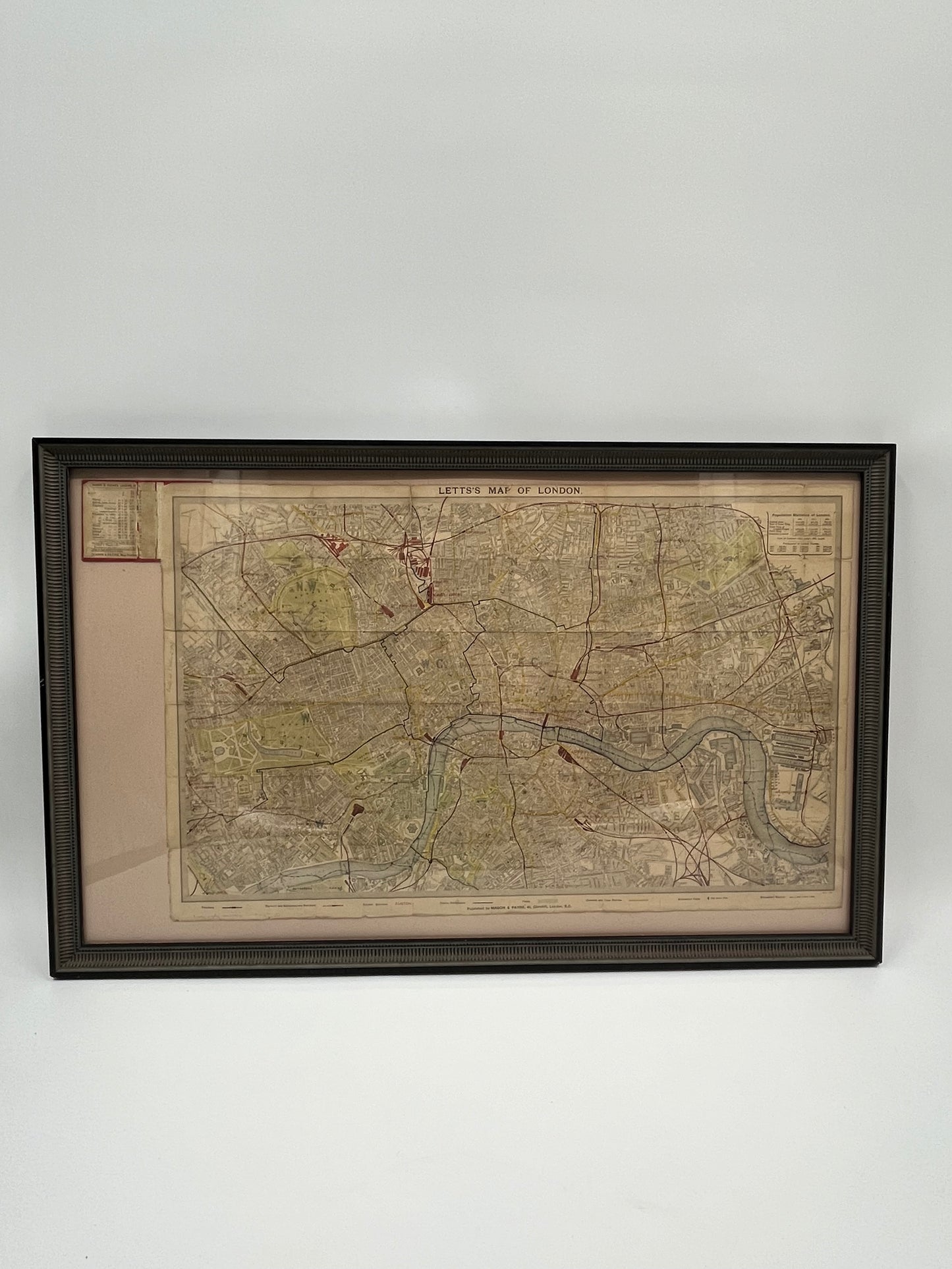
Une incroyable carte antique de poche de Londres. Créée par Thomas Letts (1804-1873), un cartographe victorien renommé spécialisé dans les cartes de poche, les calendriers et les agendas. Cette carte de 1881, sur support en lin, couvre la majorité des limites du centre-ville de Londres et englobe des zones allant de Kilburn à Hackneywick, de Chelsea à Deptford. La carte est pliée en sections mesurant 2x3 pouces. Vendue et illustrée dans un cadre en bois personnalisé. La carte entière peut être pliée pour s'insérer dans la reliure illustrée en haut à gauche. Une fois l'impression imprimée, cette carte a été colorée à la main avec des détails supplémentaires.
Dimensions : 26,0" x 15,7" (66,0 cm x 39,9 cm)
" Thomas Letts... était l'agent de l'Ordnance Survey et du Geological Survey. Il a acquis et mis à jour les plaques cartographiques gravées qui avaient été utilisées pour l'atlas précédent de la SDUK (Society for the Diffusion of Useful Knowledge) - celles-ci ont été réimprimées dans diverses éditions du "Letts's Popular Atlas" dans les années 1880. "